Transport Functions
Rail
Road
Hub Profile
Place type
Provincial seat
Region
Banská Bystrica Region
Population
7,520
Time zone
Europe/Bratislava
Elevation
270 m
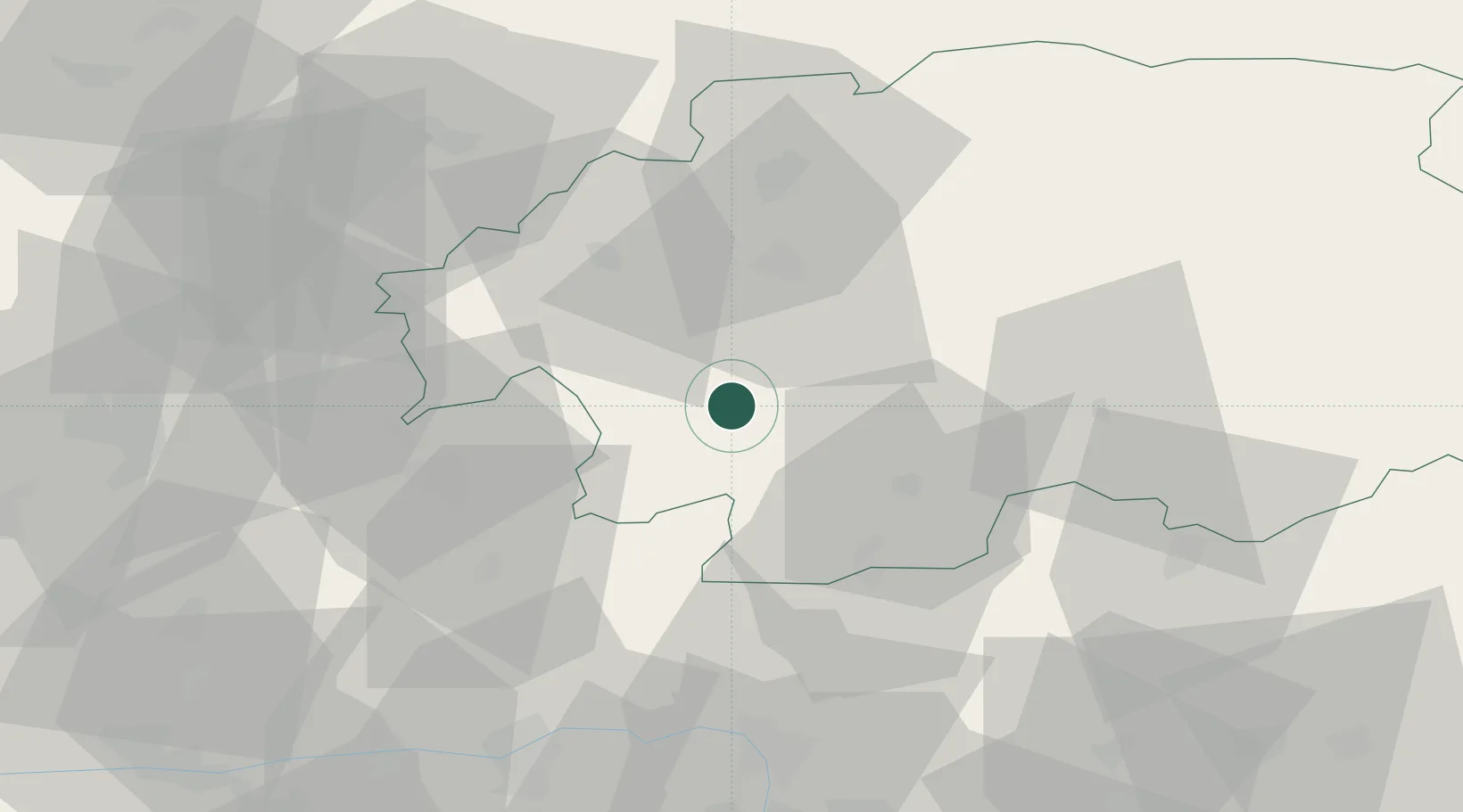
Location
Nearby Logistics Neighbours
Cities
- 1Banska Stiavnica17 km
- 2Hodrusa23 km
- 3Zvolen26 km
- 4Drzenice28 km
- 5Zvolenská Slatina28 km
Ports
- 1Bakar484 km
- 2Rijeka Luka486 km
- 3Omisalj489 km
- 4Senj491 km
- 5Trieste503 km
Airports
- 1Sliač Airport32 km
- 2Piešťany Airport96 km
- 3Budapest Liszt Ferenc International Airport103 km
- 4Žilina-Dolný Hričov Airport104 km
- 5Tököl Airport112 km
Trade Zones
DatabookThe Record of Consolidated Knowledge
Slovakia beyond logistics?