Transport Functions
Rail
Road
Hub Profile
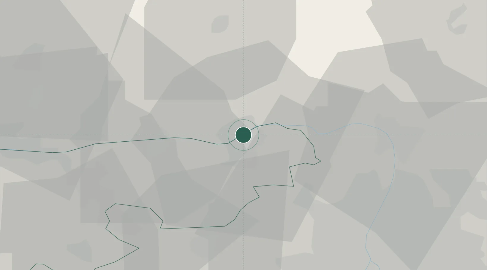
Place type
Populated place
Region
Nitra Region
Population
9,361
Time zone
Europe/Bratislava
Elevation
110 m
Location
Nearby Logistics Neighbours
Ports
- 1Bakar425 km
- 2Rijeka Luka428 km
- 3Senj430 km
- 4Omisalj430 km
- 5Zaliv Rasa470 km
Airports
- 1Tököl Airport54 km
- 2Budapest Liszt Ferenc International Airport57 km
- 3Győr-Pér Airport72 km
- 4Sliač Airport98 km
- 5Piešťany Airport114 km
Trade Zones
- 1Göd Special Economic Zone35 km
- 2Veselí nad Moravou Industrial Zone163 km
- 3Holešov Industrial Zone191 km
- 4Subotica Free Zone203 km
- 5Mošnov Development Area215 km
DatabookThe Record of Consolidated Knowledge
Slovakia beyond logistics?