Transport Functions
Multimodal
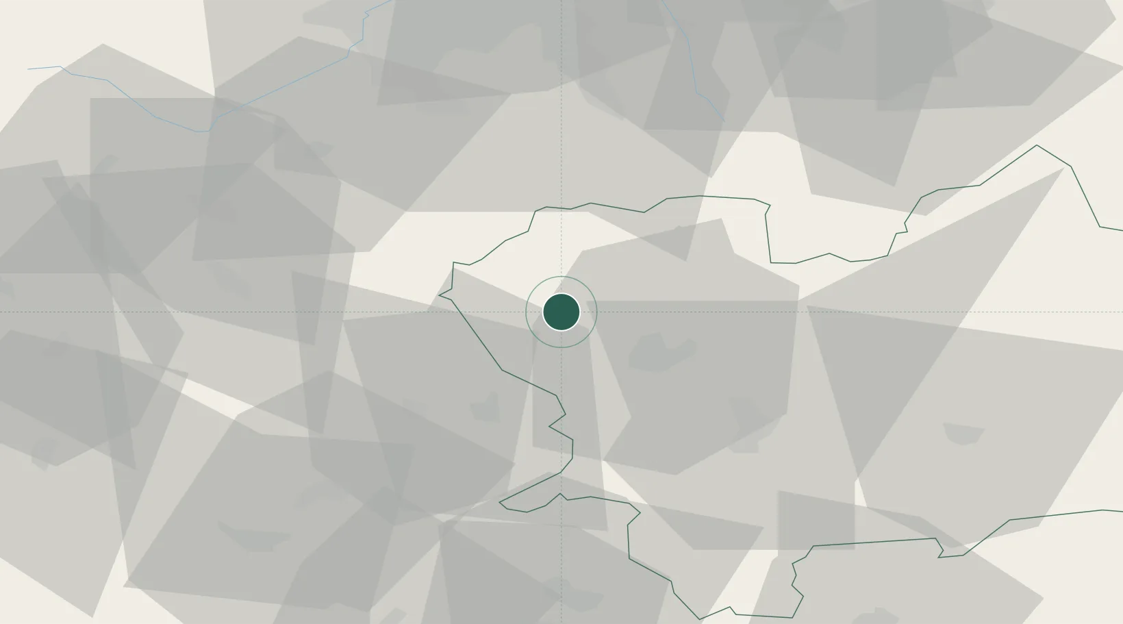
Hub Profile
Place type
Populated place
Region
Žilina Region
Population
3,740
Time zone
Europe/Bratislava
Elevation
393 m
Location
Nearby Logistics Neighbours
Cities
- 1Horný Hricov8 km
- 2Teplicka nad Vahom17 km
- 3Lietavska Lucka18 km
- 4Rakova18 km
- 5Rajecke Teplice20 km
Ports
- 1Szczecin536 km
- 2Bakar539 km
- 3Rijeka Luka541 km
- 4Monfalcone544 km
- 5Trieste545 km
Airports
- 1Žilina-Dolný Hričov Airport8 km
- 2Leoš Janáček Airport Ostrava56 km
- 3Sliač Airport84 km
- 4Přerov Air Base87 km
- 5Kunovice Airport88 km
Trade Zones
DatabookThe Record of Consolidated Knowledge
Slovakia beyond logistics?