Transport Functions
Multimodal
Hub Profile
Place type
Populated place
Region
Nitra Region
Time zone
Europe/Bratislava
Elevation
127 m
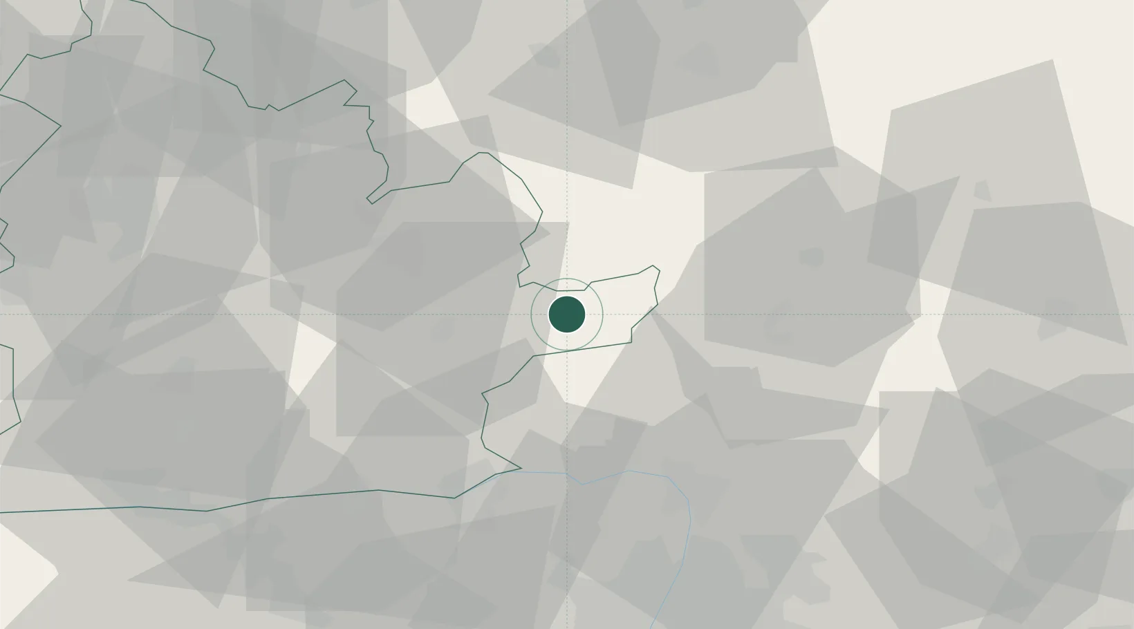
Location
Nearby Logistics Neighbours
Cities
- 1Drégelypalánk13 km
- 2Drzenice24 km
- 3Levice25 km
- 4Leanyvar29 km
- 5Krupina29 km
Ports
- 1Bakar457 km
- 2Rijeka Luka460 km
- 3Omisalj463 km
- 4Senj464 km
- 5Trieste478 km
Airports
- 1Sliač Airport61 km
- 2Budapest Liszt Ferenc International Airport81 km
- 3Tököl Airport86 km
- 4Piešťany Airport97 km
- 5Győr-Pér Airport98 km
Trade Zones
DatabookThe Record of Consolidated Knowledge
Slovakia beyond logistics?