Transport Functions
Multimodal
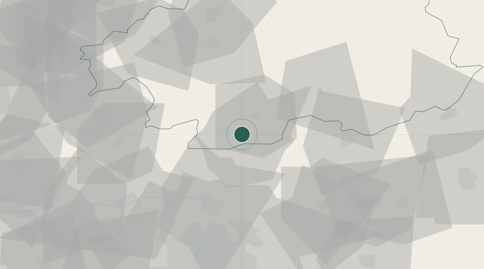
Hub Profile
Place type
Populated place
Region
Komárom-Esztergom
Time zone
Europe/Budapest
Elevation
156 m
Location
Nearby Logistics Neighbours
Cities
- 1Szügy12 km
- 2Vel'ké Zlievce14 km
- 3Szécsény19 km
- 4Drégelypalánk20 km
- 5Endrefalva22 km
Ports
- 1Bakar480 km
- 2Rijeka Luka483 km
- 3Senj485 km
- 4Omisalj485 km
- 5Trieste503 km
Airports
- 1Sliač Airport57 km
- 2Budapest Liszt Ferenc International Airport78 km
- 3Tököl Airport91 km
- 4Piešťany Airport121 km
- 5Győr-Pér Airport124 km
Trade Zones
DatabookThe Record of Consolidated Knowledge
Hungary beyond logistics?