Transport Functions
Multimodal
Hub Profile
Place type
Populated place
Region
Nógrád
Time zone
Europe/Budapest
Elevation
145 m
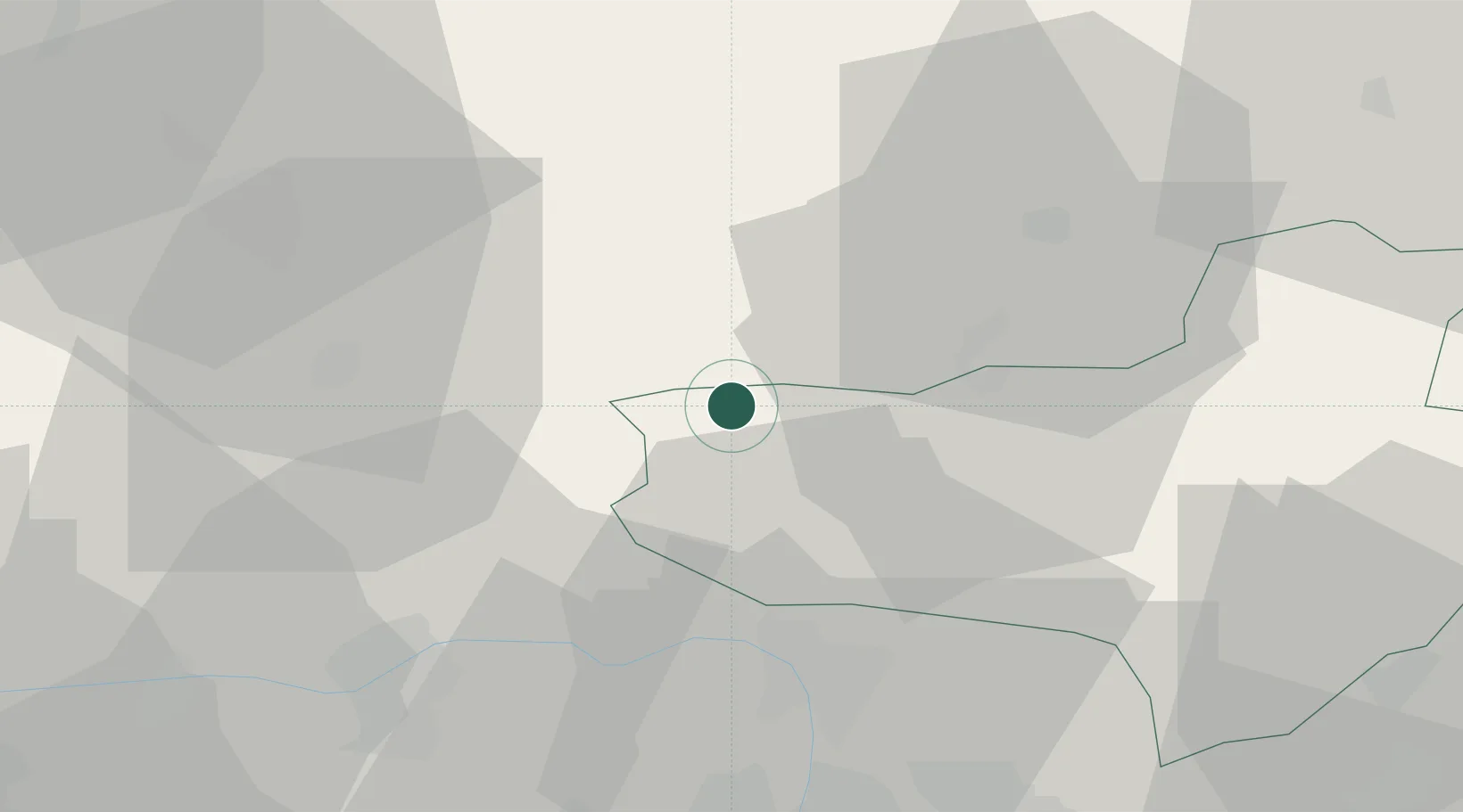
Location
Nearby Logistics Neighbours
Cities
- 1Tupa13 km
- 2Leanyvar20 km
- 3Szügy21 km
- 4Verocemaros24 km
- 5Visegrád29 km
Ports
- 1Bakar461 km
- 2Rijeka Luka464 km
- 3Senj466 km
- 4Omisalj466 km
- 5Trieste483 km
Airports
- 1Sliač Airport66 km
- 2Budapest Liszt Ferenc International Airport71 km
- 3Tököl Airport79 km
- 4Győr-Pér Airport104 km
- 5Piešťany Airport111 km
Trade Zones
DatabookThe Record of Consolidated Knowledge
Hungary beyond logistics?