UN/LOCODE hub · Slovakia
SKPBY
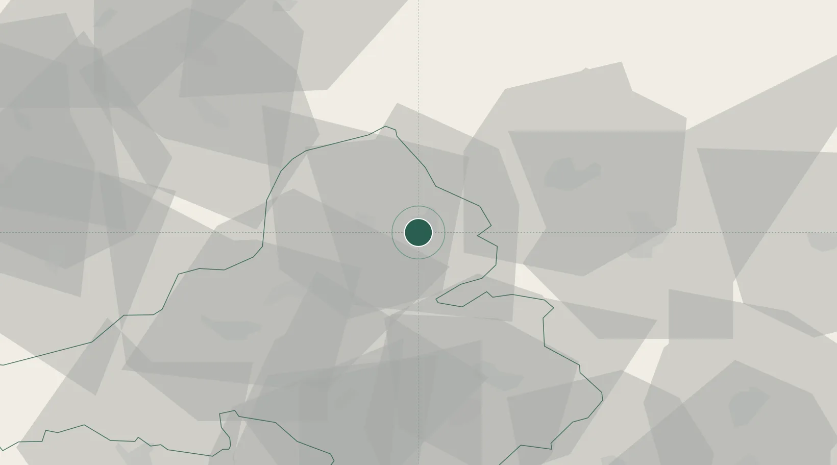
Povazská Bystrica
49.1000°, 18.4333°
37,483
Population
3
Transport functions
Transport Functions
Rail
Road
Multimodal
Hub Profile
Place type
Provincial seat
Region
Trenčín Region
Population
37,483
Time zone
Europe/Bratislava
Elevation
280 m
Location
Nearby Logistics Neighbours
Cities
- 1Horovce15 km
- 2Rajecke Teplice19 km
- 3Ilava19 km
- 4Lietavska Lucka22 km
- 5Dubnica nad Váhom24 km
Ports
- 1Bakar515 km
- 2Rijeka Luka516 km
- 3Monfalcone520 km
- 4Trieste521 km
- 5Omisalj522 km
Airports
- 1Žilina-Dolný Hričov Airport20 km
- 2Piešťany Airport69 km
- 3Leoš Janáček Airport Ostrava70 km
- 4Sliač Airport73 km
- 5Kunovice Airport73 km
Trade Zones
DatabookThe Record of Consolidated Knowledge
Slovakia beyond logistics?