Transport Functions
Multimodal
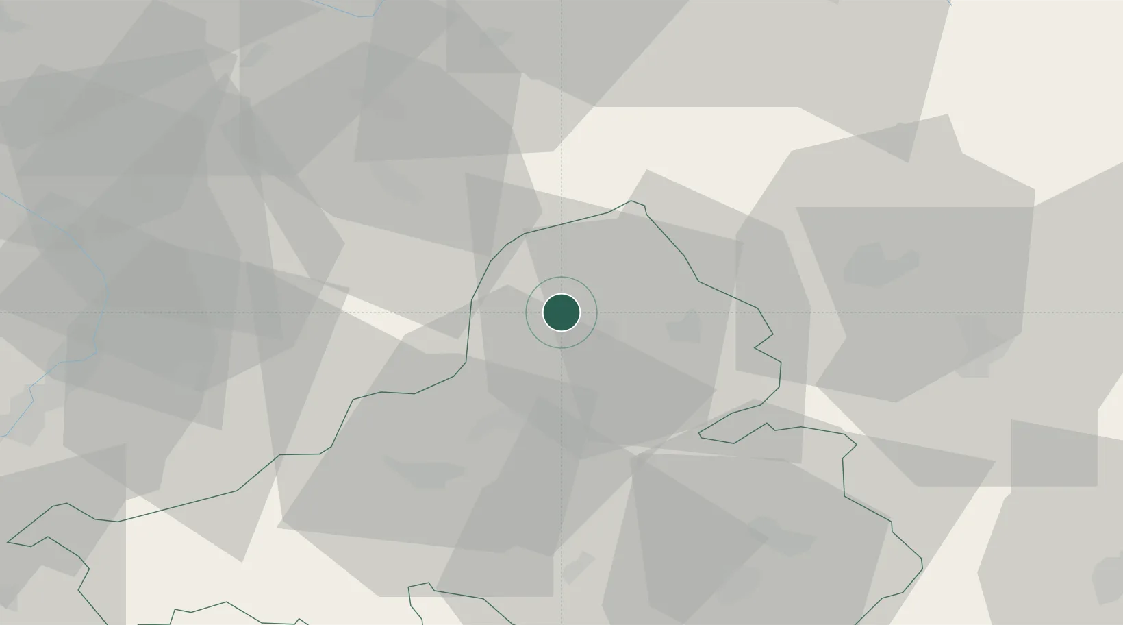
Hub Profile
Place type
Populated place
Region
Trenčín Region
Population
835
Time zone
Europe/Bratislava
Elevation
249 m
Location
Nearby Logistics Neighbours
Cities
- 1Horní Lidec14 km
- 2Povazská Bystrica15 km
- 3Ilava17 km
- 4Valasske Klobouky18 km
- 5Halenkov20 km
Ports
- 1Bakar512 km
- 2Rijeka Luka513 km
- 3Monfalcone515 km
- 4Trieste516 km
- 5Omisalj519 km
Airports
- 1Žilina-Dolný Hričov Airport28 km
- 2Kunovice Airport61 km
- 3Leoš Janáček Airport Ostrava62 km
- 4Piešťany Airport66 km
- 5Přerov Air Base69 km
Trade Zones
DatabookThe Record of Consolidated Knowledge
Slovakia beyond logistics?