UN/LOCODE hub · Slovakia
SKDNV
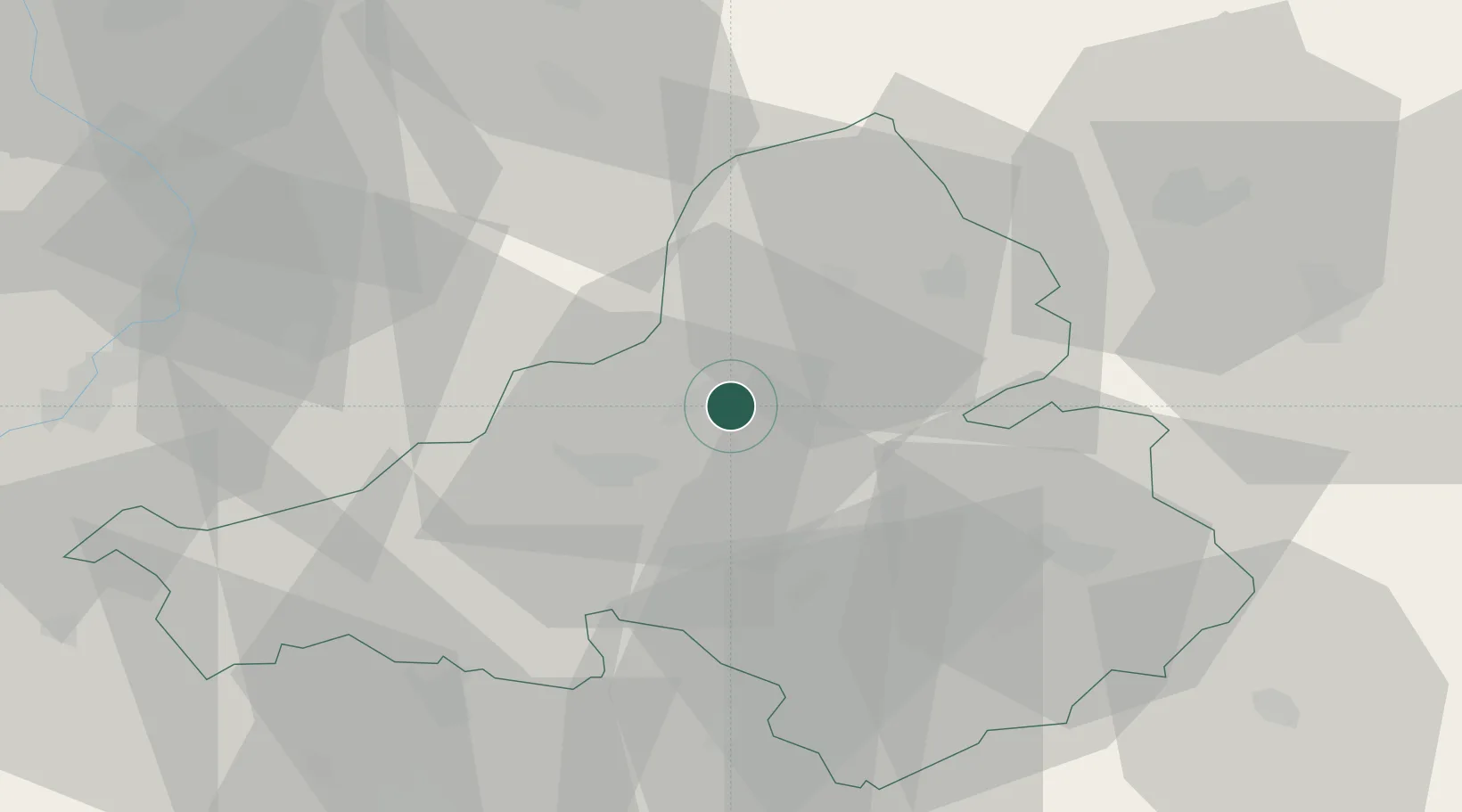
Dubnica nad Váhom
48.9667°, 18.1833°
21,914
Population
2
Transport functions
Transport Functions
Rail
Road
Hub Profile
Place type
Populated place
Region
Trenčín Region
Population
21,914
Time zone
Europe/Bratislava
Elevation
220 m
Location
Nearby Logistics Neighbours
Cities
- 1Nova Dubnica3 km
- 2Ilava4 km
- 3Trencianska Teplá6 km
- 4Trencianske Teplice8 km
- 5Stítná nad Vlárí18 km
Ports
- 1Bakar492 km
- 2Rijeka Luka494 km
- 3Monfalcone497 km
- 4Trieste498 km
- 5Omisalj499 km
Airports
- 1Žilina-Dolný Hričov Airport43 km
- 2Piešťany Airport46 km
- 3Kunovice Airport55 km
- 4Přerov Air Base76 km
- 5Sliač Airport79 km
Trade Zones
DatabookThe Record of Consolidated Knowledge
Slovakia beyond logistics?