UN/LOCODE hub · Slovakia
SKSLO
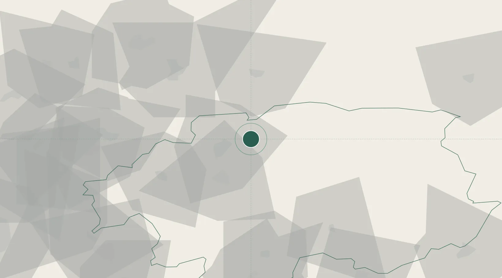
Slovenská Lupca
48.7667°, 19.2833°
3,260
Population
2
Transport functions
Transport Functions
Rail
Road
Hub Profile
Place type
Populated place
Region
Banská Bystrica Region
Population
3,260
Time zone
Europe/Bratislava
Elevation
370 m
Location
Nearby Logistics Neighbours
Cities
- 1Harmanec18 km
- 2Podbrezová19 km
- 3Zvolenská Slatina22 km
- 4Valaska23 km
- 5Zvolen23 km
Ports
- 1Bakar527 km
- 2Rijeka Luka530 km
- 3Omisalj533 km
- 4Senj537 km
- 5Trieste543 km
Airports
- 1Sliač Airport18 km
- 2Žilina-Dolný Hričov Airport71 km
- 3Poprad-Tatry Airport78 km
- 4Piešťany Airport108 km
- 5Leoš Janáček Airport Ostrava134 km
Trade Zones
- 1Göd Special Economic Zone121 km
- 2Mošnov Development Area133 km
- 3Karvinská Specialized Economic Zone134 km
- 4Veselí nad Moravou Industrial Zone141 km
- 5Holešov Industrial Zone141 km
DatabookThe Record of Consolidated Knowledge
Slovakia beyond logistics?