Transport Functions
Multimodal
Hub Profile
Place type
Populated place
Region
Trenčín Region
Time zone
Europe/Bratislava
Elevation
232 m
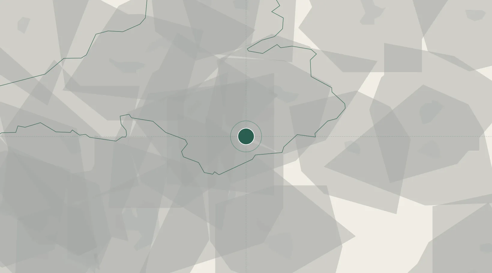
Location
Nearby Logistics Neighbours
Cities
- 1Male Uherce5 km
- 2Partizánske6 km
- 3Male Bielice10 km
- 4Krásno12 km
- 5Laskar13 km
Ports
- 1Bakar476 km
- 2Rijeka Luka478 km
- 3Omisalj482 km
- 4Trieste487 km
- 5Monfalcone488 km
Airports
- 1Piešťany Airport47 km
- 2Sliač Airport49 km
- 3Žilina-Dolný Hričov Airport68 km
- 4Kunovice Airport87 km
- 5Malacky/Kuchyňa Air Base103 km
Trade Zones
DatabookThe Record of Consolidated Knowledge
Slovakia beyond logistics?