Transport Functions
Rail
Border Crossing
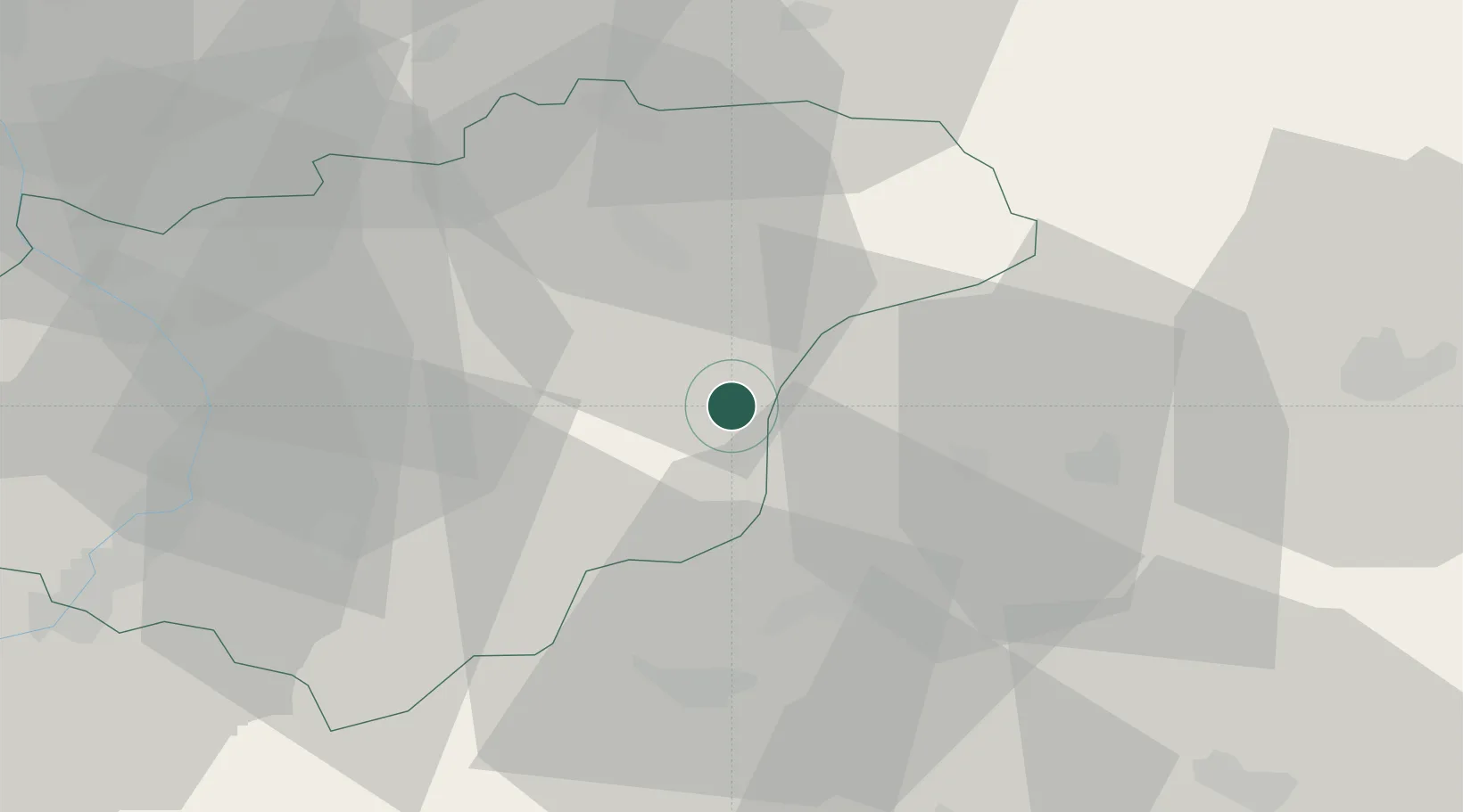
Hub Profile
Place type
Populated place
Region
Zlín
Population
1,379
Time zone
Europe/Prague
Elevation
464 m
Location
Nearby Logistics Neighbours
Cities
- 1Valasske Klobouky6 km
- 2Ujezd12 km
- 3Horovce14 km
- 4Stítná nad Vlárí14 km
- 5Halenkov16 km
Ports
- 1Bakar507 km
- 2Monfalcone508 km
- 3Rijeka Luka508 km
- 4Trieste510 km
- 5Muggia513 km
Airports
- 1Žilina-Dolný Hričov Airport40 km
- 2Kunovice Airport49 km
- 3Přerov Air Base55 km
- 4Leoš Janáček Airport Ostrava57 km
- 5Piešťany Airport65 km
Trade Zones
DatabookThe Record of Consolidated Knowledge
Czechia beyond logistics?