UN/LOCODE hub · Czechia
CZZVY
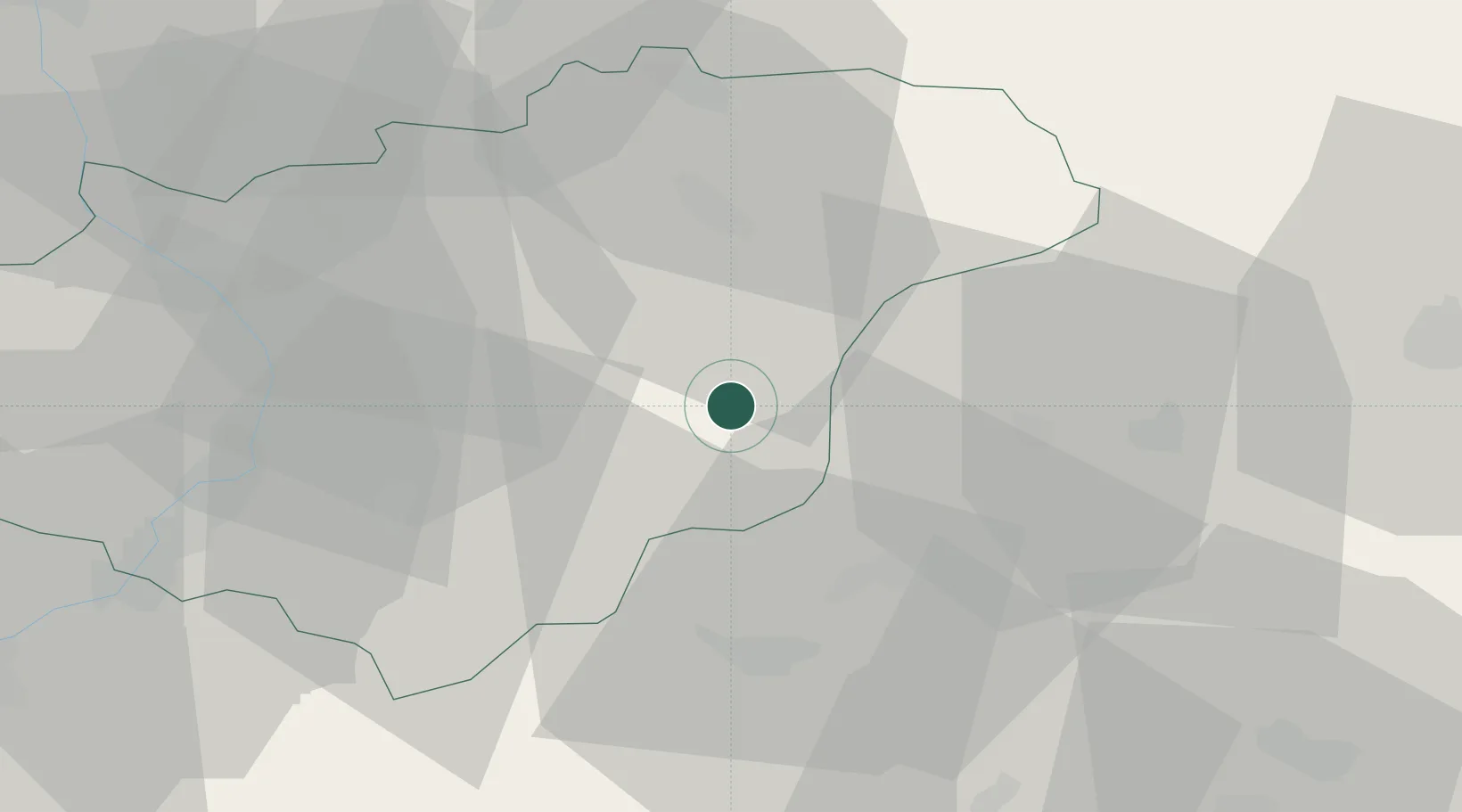
Valasske Klobouky
49.1500°, 18.0000°
5,201
Population
1
Transport functions
Transport Functions
Multimodal
Hub Profile
Place type
Populated place
Region
Zlín
Population
5,201
Time zone
Europe/Prague
Elevation
401 m
Location
Nearby Logistics Neighbours
Cities
- 1Horní Lidec6 km
- 2Ujezd8 km
- 3Stítná nad Vlárí9 km
- 4Dolní Lhota14 km
- 5Dolni Lhota u Luhacovic15 km
Ports
- 1Bakar502 km
- 2Monfalcone502 km
- 3Rijeka Luka503 km
- 4Trieste504 km
- 5Muggia507 km
Airports
- 1Kunovice Airport43 km
- 2Žilina-Dolný Hričov Airport46 km
- 3Přerov Air Base53 km
- 4Piešťany Airport60 km
- 5Leoš Janáček Airport Ostrava61 km
Trade Zones
DatabookThe Record of Consolidated Knowledge
Czechia beyond logistics?