Transport Functions
Rail
Road
Border Crossing
Hub Profile
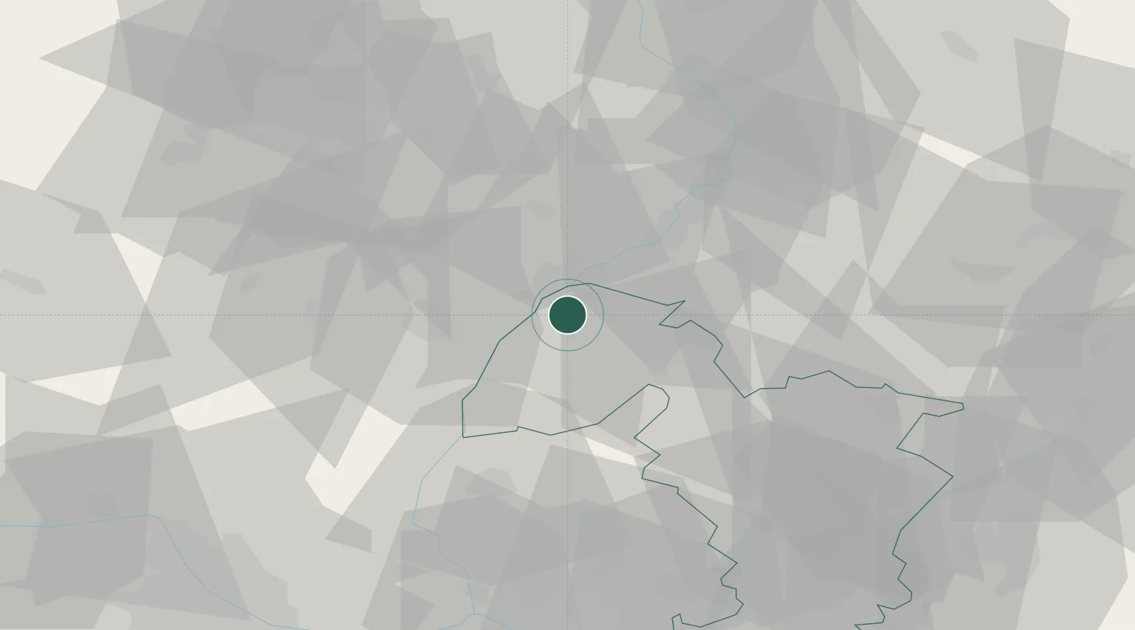
Place type
Populated place
Region
Trnava Region
Population
11,024
Time zone
Europe/Bratislava
Elevation
180 m
Location
Nearby Logistics Neighbours
Cities
- 1Mikulcice9 km
- 2Gbely10 km
- 3Tvrdonice13 km
- 4Hrusky/Breclav14 km
- 5Prusánky14 km
Ports
- 1Monfalcone432 km
- 2Trieste435 km
- 3Bakar437 km
- 4Rijeka Luka438 km
- 5Muggia439 km
Airports
- 1Kunovice Airport32 km
- 2Malacky/Kuchyňa Air Base44 km
- 3Brno-Tuřany Airport52 km
- 4Piešťany Airport52 km
- 5M. R. Štefánik Airport70 km
Trade Zones
DatabookThe Record of Consolidated Knowledge
Slovakia beyond logistics?