Transport Functions
Road
Multimodal
Hub Profile
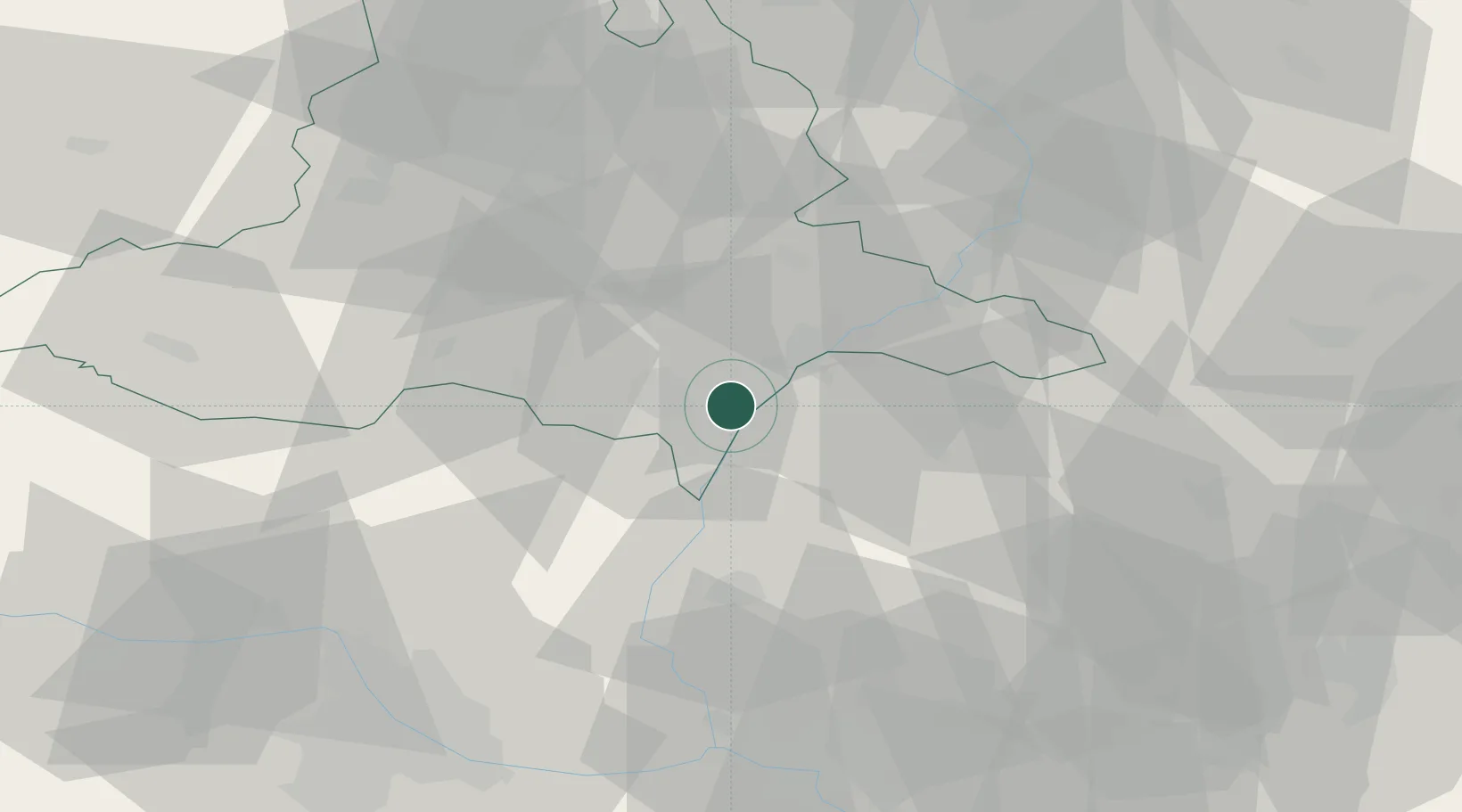
Place type
Populated place
Region
South Moravian
Population
2,067
Time zone
Europe/Prague
Elevation
176 m
Location
Nearby Logistics Neighbours
Cities
- 1Hrusky/Breclav2 km
- 2Mikulcice7 km
- 3Prusánky8 km
- 4Moravsky Zizkov8 km
- 5Postorna10 km
Ports
- 1Monfalcone422 km
- 2Trieste425 km
- 3Bakar428 km
- 4Rijeka Luka428 km
- 5Muggia429 km
Airports
- 1Malacky/Kuchyňa Air Base42 km
- 2Kunovice Airport43 km
- 3Brno-Tuřany Airport48 km
- 4Piešťany Airport63 km
- 5M. R. Štefánik Airport68 km
Trade Zones
DatabookThe Record of Consolidated Knowledge
Czechia beyond logistics?