Transport Functions
Port
Multimodal
Hub Profile
Region
JM
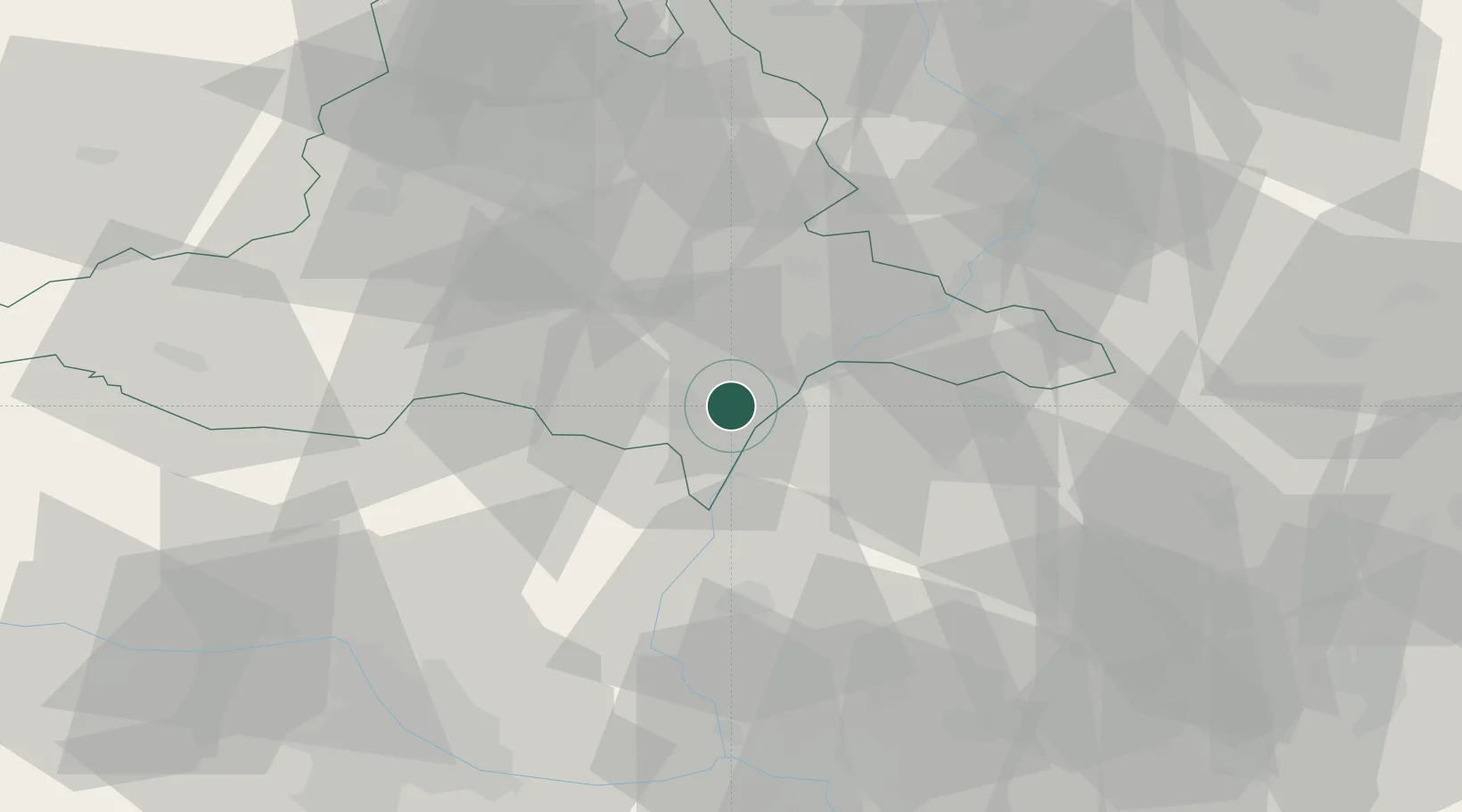
Location
Nearby Logistics Neighbours
Cities
- 1Tvrdonice2 km
- 2Prusánky6 km
- 3Moravsky Zizkov6 km
- 4Mikulcice6 km
- 5Ladná9 km
Ports
- 1Monfalcone422 km
- 2Trieste426 km
- 3Muggia429 km
- 4Rijeka Luka429 km
- 5Bakar430 km
Airports
- 1Kunovice Airport43 km
- 2Malacky/Kuchyňa Air Base44 km
- 3Brno-Tuřany Airport46 km
- 4Piešťany Airport65 km
- 5M. R. Štefánik Airport70 km
Trade Zones
DatabookThe Record of Consolidated Knowledge
Czechia beyond logistics?