UN/LOCODE hub · Slovenia
SIZBU

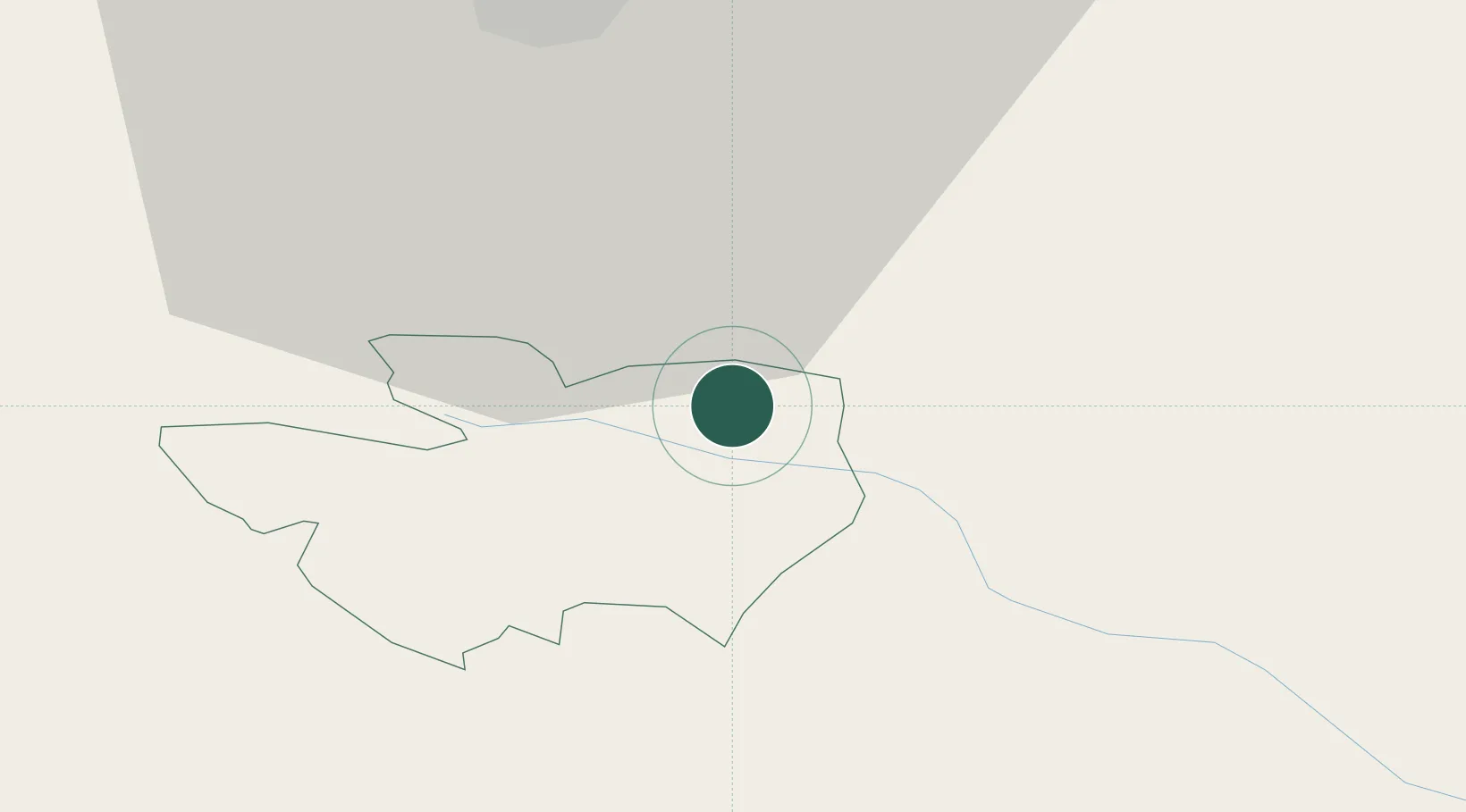
Zabukovje nad Sevnico

46.0500°, 15.3667°
181
Population
2
Transport functions

Transport Functions

Port
Multimodal
UN/LOCODE

Hub Profile

Place type
Populated place
GeoNames
Region
Sevnica Municipality
GeoNames
Population
181
GeoNames
Time zone
Europe/Ljubljana
GeoNames
Elevation
535 m
GeoNames

Location

Location of SIZBU
Natural Earth 10m (public domain) · Sevnica Municipality · SIZBU · 46.05, 15.37GoogleOSMYandex

Nearby Logistics Neighbours

Cities
  1. 1Radece14 km
  2. 2Krsko14 km
  3. 3Lasko15 km
  4. 4Zdole16 km
  5. 5Zidani Most16 km
Nearest neighbours — logibook spatial index (haversine) over the source coordinates
Ports
  1. 1Bakar106 km
  2. 2Rijeka Luka108 km
  3. 3Omisalj112 km
  4. 4Senj124 km
  5. 5Trieste133 km
Nearest neighbours — logibook spatial index (haversine) over the source coordinates
Airports
  1. 1Cerklje ob Krki Air Base21 km
  2. 2Maribor Edvard Rusjan Airport54 km
  3. 3Zagreb Franjo Tuđman International Airport64 km
  4. 4Ljubljana Jože Pučnik Airport73 km
  5. 5Klagenfurt Airport103 km
Nearest neighbours — logibook spatial index (haversine) over the source coordinates
Trade Zones
  1. 1Krapina-Zagorje Free Zone41 km
  2. 2PJ Free Zone Zagreb48 km
  3. 3Sjever Free Zone80 km
  4. 4Free Zone Kukuljanovo104 km
  5. 5Port of Rijeka Free Zone128 km
Nearest neighbours — logibook spatial index (haversine) over the source coordinates
DatabookThe Record of Consolidated Knowledge
Slovenia beyond logistics?
Browse databook

All Sources

LocationsUN/LOCODE
UN/LOCODE — free
LocationsGeoNames
CC BY 4.0
Portsthe NGA World Port Index
Public domain (US gov)
AirportsOurAirports
Public domain
Trade Zonesthe World Bank SEZ database
CC BY 4.0
Trade ZonesOpen Zone Map
CC BY
← Slovenia locations