Transport Functions
Rail
Road
Hub Profile
Place type
Regional capital
Region
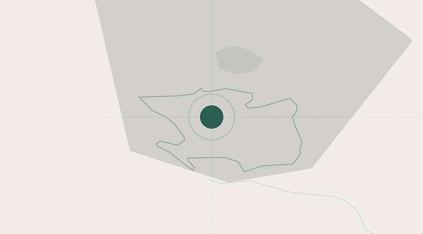
Laško Municipality
Population
3,456
Time zone
Europe/Ljubljana
Elevation
226 m
Location
Nearby Logistics Neighbours
Cities
- 1Store9 km
- 2Zidani Most9 km
- 3Grize10 km
- 4Petrovce10 km
- 5Radece10 km
Ports
- 1Bakar109 km
- 2Rijeka Luka110 km
- 3Omisalj117 km
- 4Trieste128 km
- 5Muggia129 km
Airports
Trade Zones
- 1Krapina-Zagorje Free Zone50 km
- 2PJ Free Zone Zagreb63 km
- 3Sjever Free Zone87 km
- 4Free Zone Kukuljanovo107 km
- 5Free Port of Trieste128 km
DatabookThe Record of Consolidated Knowledge
Slovenia beyond logistics?