Transport Functions
Port
Multimodal
Hub Profile
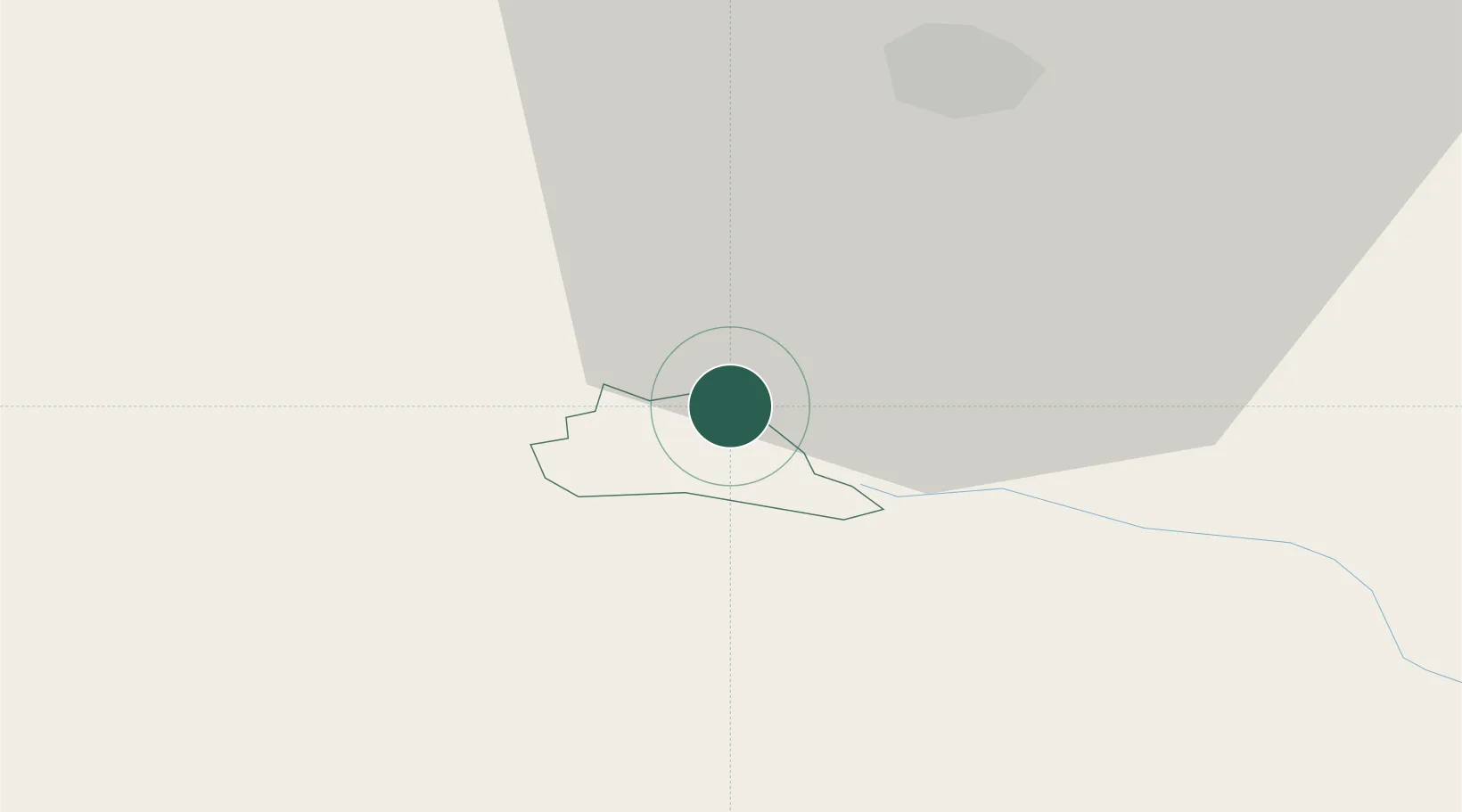
Place type
Populated place
Region
Laško Municipality
Population
284
Time zone
Europe/Ljubljana
Elevation
385 m
Location
Nearby Logistics Neighbours
Cities
- 1Radece2 km
- 2Dol pri Hrastniku8 km
- 3Lasko9 km
- 4Hrastnik10 km
- 5Zagorje ob Savi14 km
Ports
- 1Bakar100 km
- 2Rijeka Luka101 km
- 3Omisalj108 km
- 4Trieste120 km
- 5Muggia121 km
Airports
Trade Zones
- 1Krapina-Zagorje Free Zone55 km
- 2PJ Free Zone Zagreb63 km
- 3Sjever Free Zone93 km
- 4Free Zone Kukuljanovo98 km
- 5Free Port of Trieste120 km
DatabookThe Record of Consolidated Knowledge
Slovenia beyond logistics?