Transport Functions
Multimodal
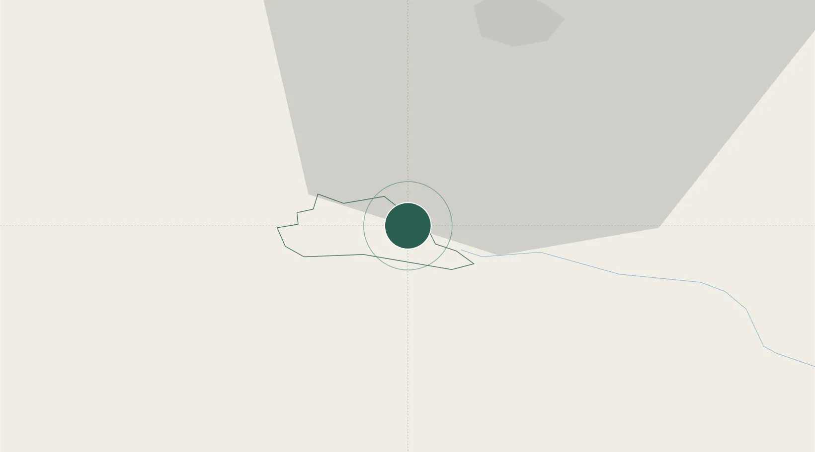
Hub Profile
Place type
Regional capital
Region
Radeče Municipality
Population
2,168
Time zone
Europe/Ljubljana
Elevation
205 m
Location
Nearby Logistics Neighbours
Cities
- 1Zidani Most2 km
- 2Dol pri Hrastniku10 km
- 3Lasko10 km
- 4Hrastnik12 km
- 5Zabukovje nad Sevnico14 km
Ports
- 1Bakar99 km
- 2Rijeka Luka100 km
- 3Omisalj107 km
- 4Trieste121 km
- 5Muggia121 km
Airports
Trade Zones
- 1Krapina-Zagorje Free Zone54 km
- 2PJ Free Zone Zagreb61 km
- 3Sjever Free Zone93 km
- 4Free Zone Kukuljanovo97 km
- 5Free Port of Trieste120 km
DatabookThe Record of Consolidated Knowledge
Slovenia beyond logistics?