Transport Functions
Port
Multimodal
Hub Profile
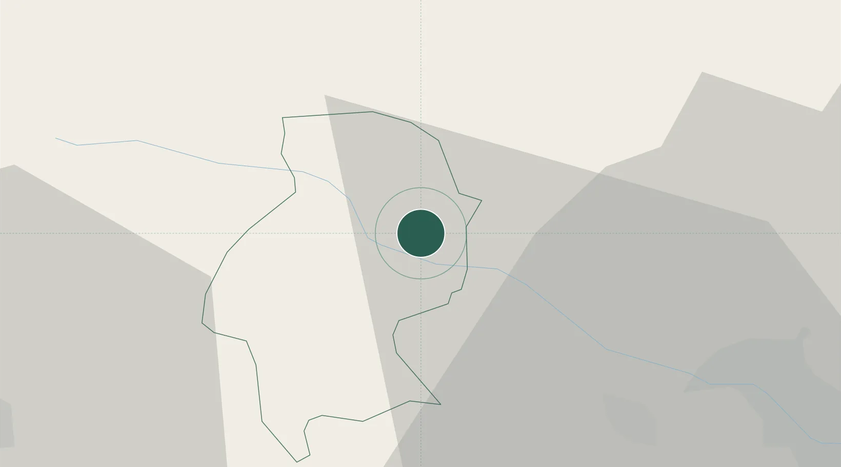
Place type
Populated place
Region
Krško
Population
287
Time zone
Europe/Ljubljana
Elevation
305 m
Location
Nearby Logistics Neighbours
Cities
- 1Krsko4 km
- 2Brezice8 km
- 3Dobova14 km
- 4Zabukovje nad Sevnico16 km
- 5Sveta Nedjelja27 km
Ports
- 1Bakar107 km
- 2Rijeka Luka111 km
- 3Omisalj113 km
- 4Senj120 km
- 5Trieste143 km
Airports
Trade Zones
- 1PJ Free Zone Zagreb33 km
- 2Krapina-Zagorje Free Zone34 km
- 3Sjever Free Zone72 km
- 4Free Zone Kukuljanovo106 km
- 5Port of Rijeka Free Zone131 km
DatabookThe Record of Consolidated Knowledge
Slovenia beyond logistics?