Transport Functions
Rail
Road
Hub Profile
Place type
Populated place
Region
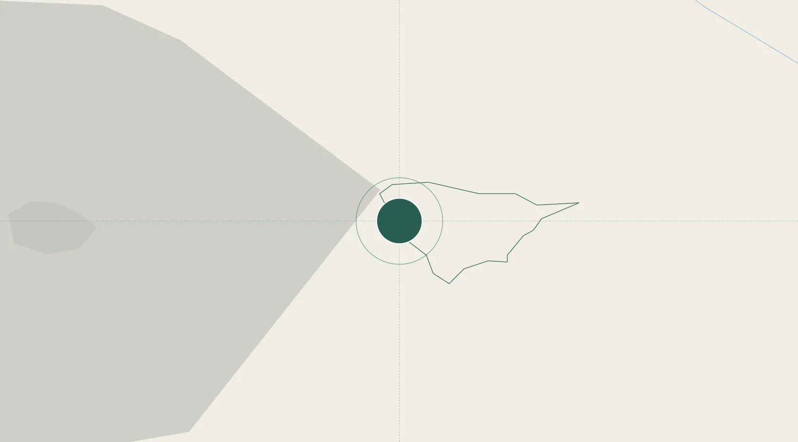
Rogaška Slatina
Population
111
Time zone
Europe/Ljubljana
Elevation
244 m
Location
Nearby Logistics Neighbours
Cities
- 1Poljcane6 km
- 2Laporje9 km
- 3Zgornja Loznica11 km
- 4Zetale16 km
- 5Zgornja Polskava19 km
Ports
- 1Bakar133 km
- 2Rijeka Luka135 km
- 3Omisalj140 km
- 4Senj151 km
- 5Trieste157 km
Airports
Trade Zones
- 1Krapina-Zagorje Free Zone25 km
- 2PJ Free Zone Zagreb55 km
- 3Sjever Free Zone58 km
- 4Free Zone Kukuljanovo131 km
- 5Port of Rijeka Free Zone156 km
DatabookThe Record of Consolidated Knowledge
Slovenia beyond logistics?