UN/LOCODE hub · Slovenia
SIZGP
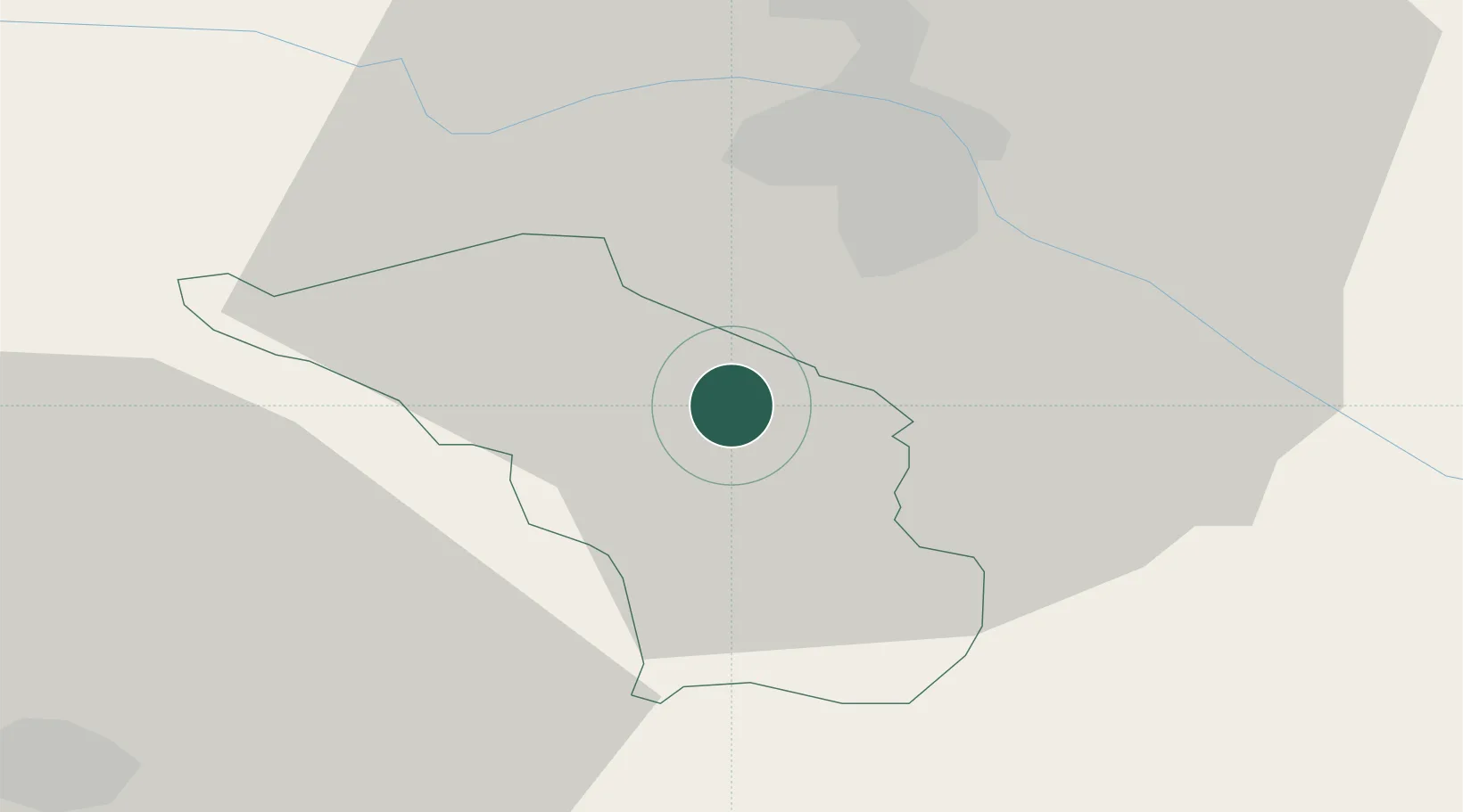
Zgornja Polskava
46.4167°, 15.6000°
1,208
Population
2
Transport functions
Transport Functions
Port
Multimodal
Hub Profile
Place type
Populated place
Region
Slovenska Bistrica
Population
1,208
Time zone
Europe/Ljubljana
Elevation
294 m
Location
Nearby Logistics Neighbours
Cities
- 1Laporje9 km
- 2Zgornja Loznica10 km
- 3Poljcane13 km
- 4Kidricevo14 km
- 5Ruse15 km
Ports
- 1Bakar149 km
- 2Rijeka Luka151 km
- 3Omisalj156 km
- 4Trieste167 km
- 5Muggia168 km
Airports
Trade Zones
- 1Krapina-Zagorje Free Zone36 km
- 2Sjever Free Zone59 km
- 3PJ Free Zone Zagreb72 km
- 4Free Zone Kukuljanovo147 km
- 5Free Port of Trieste166 km
DatabookThe Record of Consolidated Knowledge
Slovenia beyond logistics?