Transport Functions
Multimodal
Hub Profile
Place type
Regional capital
Region
Poljčane
Population
1,153
Time zone
Europe/Ljubljana
Elevation
291 m
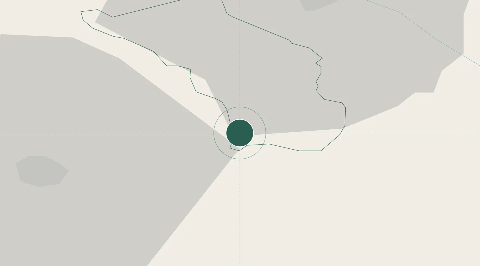
Location
Nearby Logistics Neighbours
Cities
- 1Laporje4 km
- 2Podplat6 km
- 3Zgornja Loznica7 km
- 4Zgornja Polskava13 km
- 5Zetale17 km
Ports
- 1Bakar137 km
- 2Rijeka Luka139 km
- 3Omisalj144 km
- 4Senj155 km
- 5Trieste158 km
Airports
Trade Zones
- 1Krapina-Zagorje Free Zone29 km
- 2Sjever Free Zone59 km
- 3PJ Free Zone Zagreb61 km
- 4Free Zone Kukuljanovo135 km
- 5Free Port of Trieste158 km
DatabookThe Record of Consolidated Knowledge
Slovenia beyond logistics?