Transport Functions
Multimodal
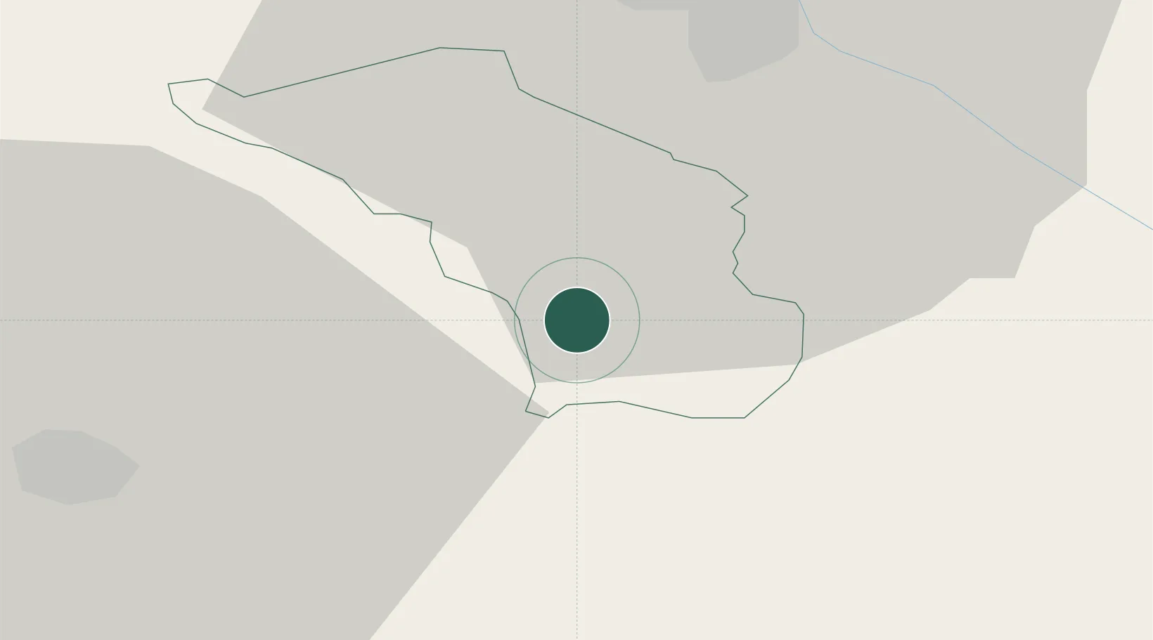
Hub Profile
Place type
Populated place
Region
Slovenska Bistrica
Population
398
Time zone
Europe/Ljubljana
Elevation
284 m
Location
Nearby Logistics Neighbours
Cities
- 1Poljcane4 km
- 2Zgornja Loznica5 km
- 3Podplat9 km
- 4Zgornja Polskava9 km
- 5Kidricevo17 km
Ports
- 1Bakar141 km
- 2Rijeka Luka143 km
- 3Omisalj148 km
- 4Senj159 km
- 5Trieste161 km
Airports
Trade Zones
- 1Krapina-Zagorje Free Zone30 km
- 2Sjever Free Zone58 km
- 3PJ Free Zone Zagreb64 km
- 4Free Zone Kukuljanovo139 km
- 5Free Port of Trieste161 km
DatabookThe Record of Consolidated Knowledge
Slovenia beyond logistics?