Transport Functions
Port
Multimodal
Hub Profile
Place type
Regional capital
Region
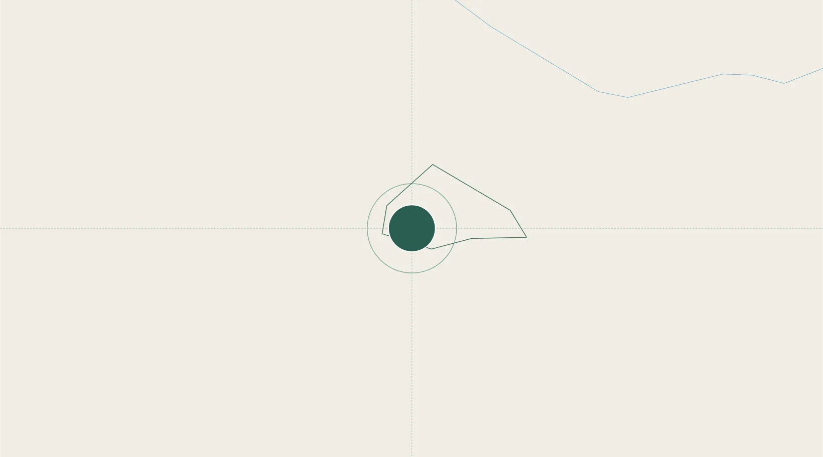
Žetale
Population
392
Time zone
Europe/Ljubljana
Elevation
312 m
Location
Nearby Logistics Neighbours
Cities
- 1Durmanec10 km
- 2Zgornja Loznica13 km
- 3Zgornji Leskovec13 km
- 4Krapina15 km
- 5Kidricevo15 km
Ports
- 1Bakar145 km
- 2Rijeka Luka147 km
- 3Omisalj151 km
- 4Senj158 km
- 5Trieste172 km
Airports
Trade Zones
- 1Krapina-Zagorje Free Zone15 km
- 2Sjever Free Zone43 km
- 3PJ Free Zone Zagreb53 km
- 4Free Zone Kukuljanovo143 km
- 5Port of Rijeka Free Zone168 km
DatabookThe Record of Consolidated Knowledge
Slovenia beyond logistics?