Transport Functions
Rail
Road
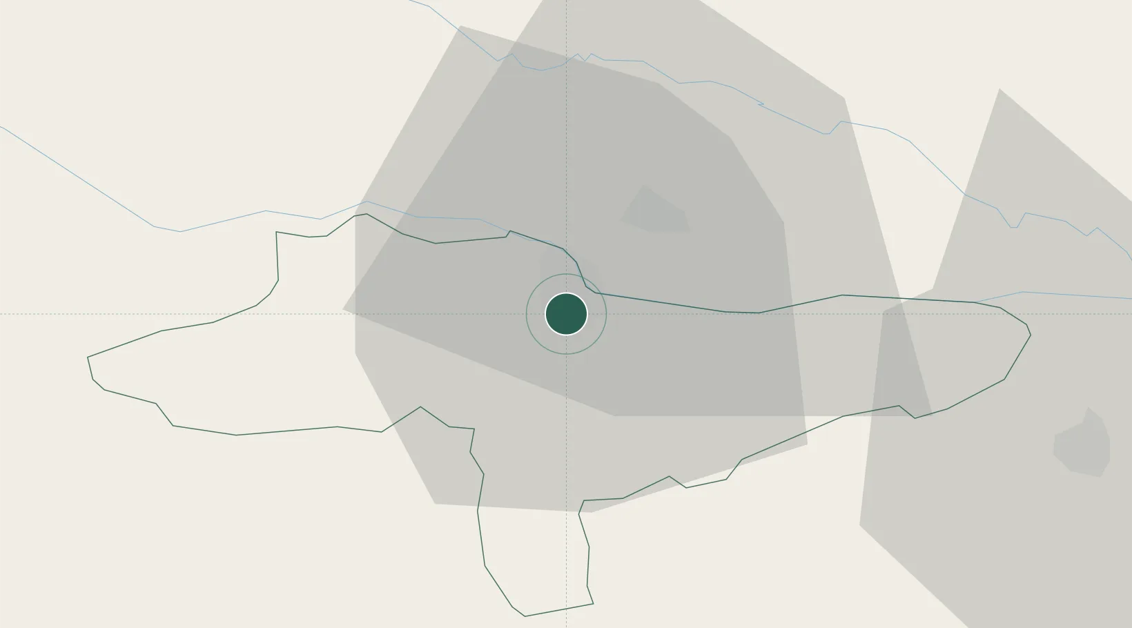
Hub Profile
Place type
Regional capital
Region
Varaždin
Population
36,187
Time zone
Europe/Zagreb
Elevation
173 m
Location
Nearby Logistics Neighbours
Cities
- 1Trnovec Bartolovecki4 km
- 2Nedelise8 km
- 3Macinec9 km
- 4Beletinec9 km
- 5Beretinec9 km
Ports
- 1Bakar178 km
- 2Rijeka Luka182 km
- 3Omisalj183 km
- 4Senj184 km
- 5Trieste213 km
Airports
Trade Zones
- 1Sjever Free Zone1 km
- 2Krapina-Zagorje Free Zone39 km
- 3PJ Free Zone Zagreb66 km
- 4Free Zone Kukuljanovo177 km
- 5Duro Daković Free Zone181 km
DatabookThe Record of Consolidated Knowledge
Croatia beyond logistics?