Transport Functions
Multimodal
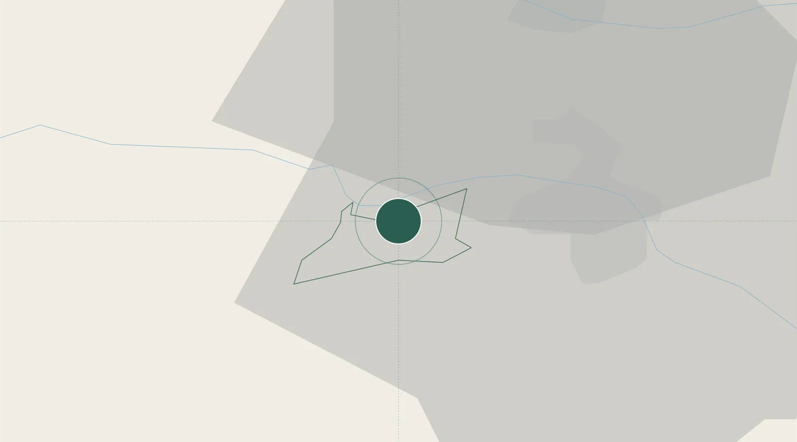
Hub Profile
Place type
Regional capital
Region
Ruše Municipality
Population
4,503
Time zone
Europe/Ljubljana
Elevation
407 m
Location
Nearby Logistics Neighbours
Cities
- 1Bistrica ob Dravi4 km
- 2Zgornja Kungota14 km
- 3Leutschach15 km
- 4Zgornja Polskava15 km
- 5Zgornja Korena19 km
Ports
- 1Bakar156 km
- 2Rijeka Luka157 km
- 3Omisalj164 km
- 4Trieste167 km
- 5Muggia169 km
Airports
- 1Maribor Edvard Rusjan Airport15 km
- 2Graz Airport51 km
- 3Cerklje ob Krki Air Base71 km
- 4Ljubljana Jože Pučnik Airport87 km
- 5Klagenfurt Airport90 km
Trade Zones
- 1Krapina-Zagorje Free Zone51 km
- 2Sjever Free Zone70 km
- 3PJ Free Zone Zagreb87 km
- 4Free Zone Kukuljanovo154 km
- 5Free Port of Trieste167 km
DatabookThe Record of Consolidated Knowledge
Slovenia beyond logistics?