UN/LOCODE hub · Sweden
SEUME

Umeå

63.7008°, 20.3494°
130,224
Population
4
Transport functions

Transport Functions

Port
Rail
Road
Airport
Umeå is also a profiled seaport →
UN/LOCODE

Hub Profile

Place type
Regional capital
GeoNames
Region
Västerbotten
GeoNames
Population
130,224
GeoNames
Time zone
Europe/Stockholm
GeoNames
Elevation
24 m
GeoNames
Logistics facilities
1
UN/LOCODE

Location

Location of SEUME
Natural Earth 10m (public domain) · Västerbotten · SEUME · 63.70, 20.35GoogleOSMYandex

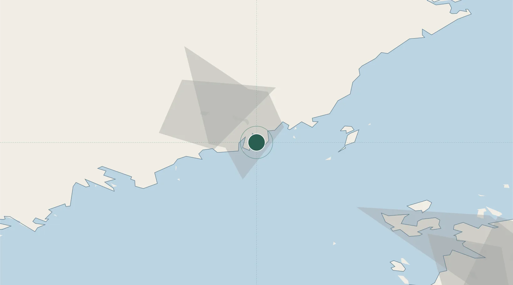
Nearby Logistics Neighbours

Cities
  1. 1Hörnefors23 km
  2. 2Vännäs38 km
  3. 3Nordmaling46 km
  4. 4Rundvik49 km
  5. 5Robertsfors59 km
Nearest neighbours — logibook spatial index (haversine) over the source coordinates
Ports
  1. 1Obbola1 km
  2. 2Nordmaling45 km
  3. 3Rundvik48 km
  4. 4Husum72 km
  5. 5Vaasa91 km
Nearest neighbours — logibook spatial index (haversine) over the source coordinates
Airports
  1. 1Umeå Airport11 km
  2. 2Örnsköldsvik Airport75 km
  3. 3Vaasa Airport101 km
  4. 4Skellefteå Airport109 km
  5. 5Lycksele Airport123 km
Nearest neighbours — logibook spatial index (haversine) over the source coordinates
Trade Zones
  1. 1Oulu Port Free Warehouse Area283 km
  2. 2Turku Free Zone375 km
  3. 3Freeport of Hanko451 km
  4. 4Port of Hamina-Kotka496 km
  5. 5Stockholm Free Zone498 km
Nearest neighbours — logibook spatial index (haversine) over the source coordinates
DatabookThe Record of Consolidated Knowledge
Sweden beyond logistics?
Browse databook

All Sources

LocationsUN/LOCODE
UN/LOCODE — free
LocationsGeoNames
CC BY 4.0
Portsthe NGA World Port Index
Public domain (US gov)
AirportsOurAirports
Public domain
Trade Zonesthe World Bank SEZ database
CC BY 4.0
Trade ZonesOpen Zone Map
CC BY
← Sweden locations