UN/LOCODE hub · Sweden
SEVNS

Vännäs

63.9167°, 19.7500°
2
Transport functions

Transport Functions

Rail
Road
UN/LOCODE

Hub Profile

Region
AC
GeoNames

Location

Location of SEVNS
Natural Earth 10m (public domain) · AC · SEVNS · 63.92, 19.75GoogleOSMYandex

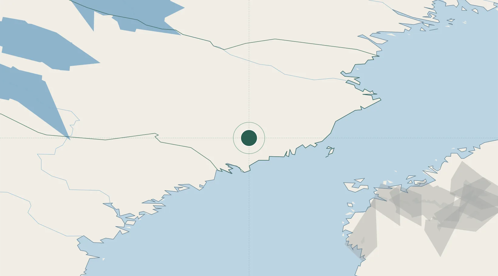
Nearby Logistics Neighbours

Cities
  1. 1Nordmaling32 km
  2. 2Hörnefors32 km
  3. 3Umeå38 km
  4. 4Rundvik45 km
  5. 5Bygdsiljum60 km
Nearest neighbours — logibook spatial index (haversine) over the source coordinates
Ports
  1. 1Obbola37 km
  2. 2Umea Hamn38 km
  3. 3Nordmaling41 km
  4. 4Rundvik45 km
  5. 5Husum71 km
Nearest neighbours — logibook spatial index (haversine) over the source coordinates
Airports
  1. 1Umeå Airport30 km
  2. 2Örnsköldsvik Airport68 km
  3. 3Lycksele Airport86 km
  4. 4Skellefteå Airport102 km
  5. 5Kramfors-Sollefteå Höga Kusten Airport138 km
Nearest neighbours — logibook spatial index (haversine) over the source coordinates
Trade Zones
  1. 1Oulu Port Free Warehouse Area297 km
  2. 2Turku Free Zone407 km
  3. 3Freeport of Hanko483 km
  4. 4Stockholm Free Zone515 km
  5. 5Port of Hamina-Kotka534 km
Nearest neighbours — logibook spatial index (haversine) over the source coordinates
DatabookThe Record of Consolidated Knowledge
Sweden beyond logistics?
Browse databook

All Sources

LocationsUN/LOCODE
UN/LOCODE — free
Portsthe NGA World Port Index
Public domain (US gov)
AirportsOurAirports
Public domain
Trade Zonesthe World Bank SEZ database
CC BY 4.0
Trade ZonesOpen Zone Map
CC BY
← Sweden locations