Transport Functions
Port
Road
Hub Profile
Place type
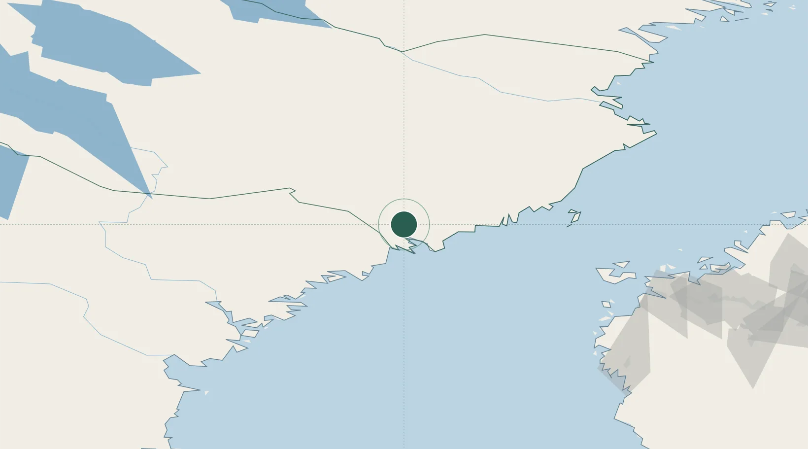
Provincial seat
Region
Västerbotten
Population
2,671
Time zone
Europe/Stockholm
Elevation
20 m
Location
Nearby Logistics Neighbours
Ports
- 1Rundvik15 km
- 2Husum39 km
- 3Obbola45 km
- 4Umea Hamn46 km
- 5Ornskoldsvik55 km
Airports
- 1Örnsköldsvik Airport36 km
- 2Umeå Airport45 km
- 3Lycksele Airport104 km
- 4Kramfors-Sollefteå Höga Kusten Airport107 km
- 5Skellefteå Airport134 km
Trade Zones
- 1Oulu Port Free Warehouse Area324 km
- 2Turku Free Zone387 km
- 3Freeport of Hanko464 km
- 4Stockholm Free Zone485 km
- 5Port of Hamina-Kotka529 km
DatabookThe Record of Consolidated Knowledge
Sweden beyond logistics?