UN/LOCODE hub · Sweden
SEHNF

Hörnefors

63.6333°, 19.9000°
2
Transport functions

Transport Functions

Port
Road
UN/LOCODE

Hub Profile

Region
AC
GeoNames

Location

Location of SEHNF
Natural Earth 10m (public domain) · AC · SEHNF · 63.63, 19.90GoogleOSMYandex

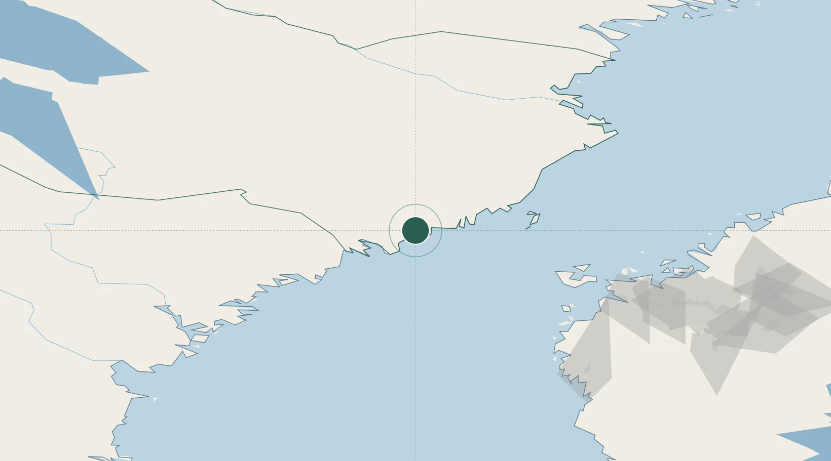
Nearby Logistics Neighbours

Cities
  1. 1Umeå23 km
  2. 2Nordmaling24 km
  3. 3Rundvik26 km
  4. 4Vännäs32 km
  5. 5Husum49 km
Nearest neighbours — logibook spatial index (haversine) over the source coordinates
Ports
  1. 1Nordmaling22 km
  2. 2Obbola23 km
  3. 3Umea Hamn23 km
  4. 4Rundvik25 km
  5. 5Husum50 km
Nearest neighbours — logibook spatial index (haversine) over the source coordinates
Airports
  1. 1Umeå Airport26 km
  2. 2Örnsköldsvik Airport52 km
  3. 3Vaasa Airport113 km
  4. 4Lycksele Airport117 km
  5. 5Skellefteå Airport124 km
Nearest neighbours — logibook spatial index (haversine) over the source coordinates
Trade Zones
  1. 1Oulu Port Free Warehouse Area306 km
  2. 2Turku Free Zone375 km
  3. 3Freeport of Hanko451 km
  4. 4Stockholm Free Zone486 km
  5. 5Port of Hamina-Kotka508 km
Nearest neighbours — logibook spatial index (haversine) over the source coordinates
DatabookThe Record of Consolidated Knowledge
Sweden beyond logistics?
Browse databook

All Sources

LocationsUN/LOCODE
UN/LOCODE — free
Portsthe NGA World Port Index
Public domain (US gov)
AirportsOurAirports
Public domain
Trade Zonesthe World Bank SEZ database
CC BY 4.0
Trade ZonesOpen Zone Map
CC BY
← Sweden locations