Transport Functions
Multimodal
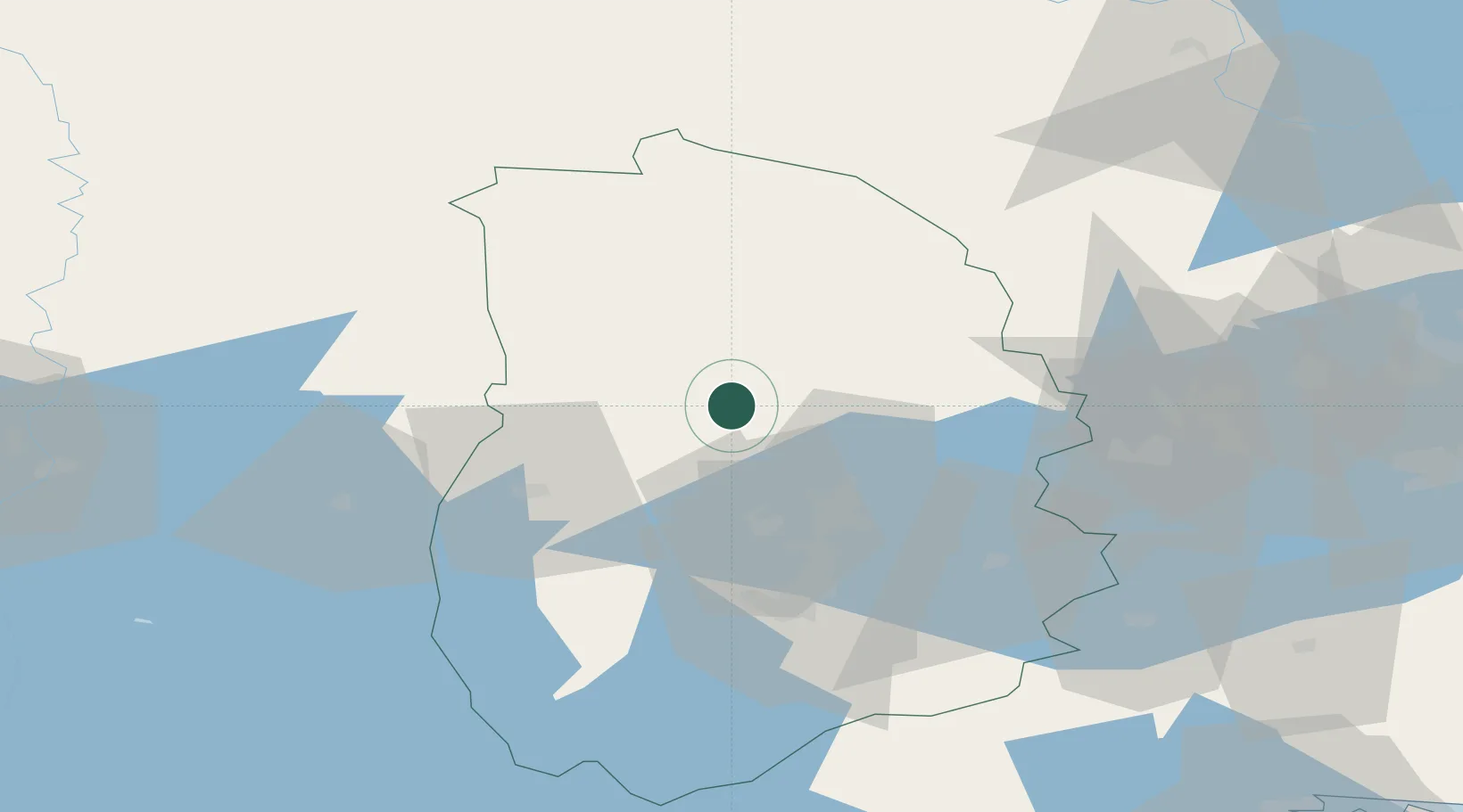
Hub Profile
Place type
Populated place
Region
Örebro
Population
671
Time zone
Europe/Stockholm
Elevation
123 m
Location
Nearby Logistics Neighbours
Cities
- 1Vintrosa30 km
- 2Grythyttan32 km
- 3Mullhyttan44 km
- 4Riddarhyttan46 km
- 5Arboga52 km
Ports
- 1Vasteras90 km
- 2Norrkoping126 km
- 3Nykoping145 km
- 4Oxelosund155 km
- 5Sodertalje157 km
Airports
- 1Karlskoga Airport33 km
- 2Örebro Airport33 km
- 3Karlstad Airport92 km
- 4Stockholm Västerås Airport94 km
- 5Hagfors Airport96 km
Trade Zones
- 1Stockholm Free Zone179 km
- 2Jönköping Free Zone201 km
- 3Gothenburg Boundless Customs Warehouse272 km
- 4Freeport of Copenhagen- Nordhavn446 km
- 5Free port of Ventspils448 km
DatabookThe Record of Consolidated Knowledge
Sweden beyond logistics?