Transport Functions
Rail
Road
Hub Profile
Place type
Populated place
Region
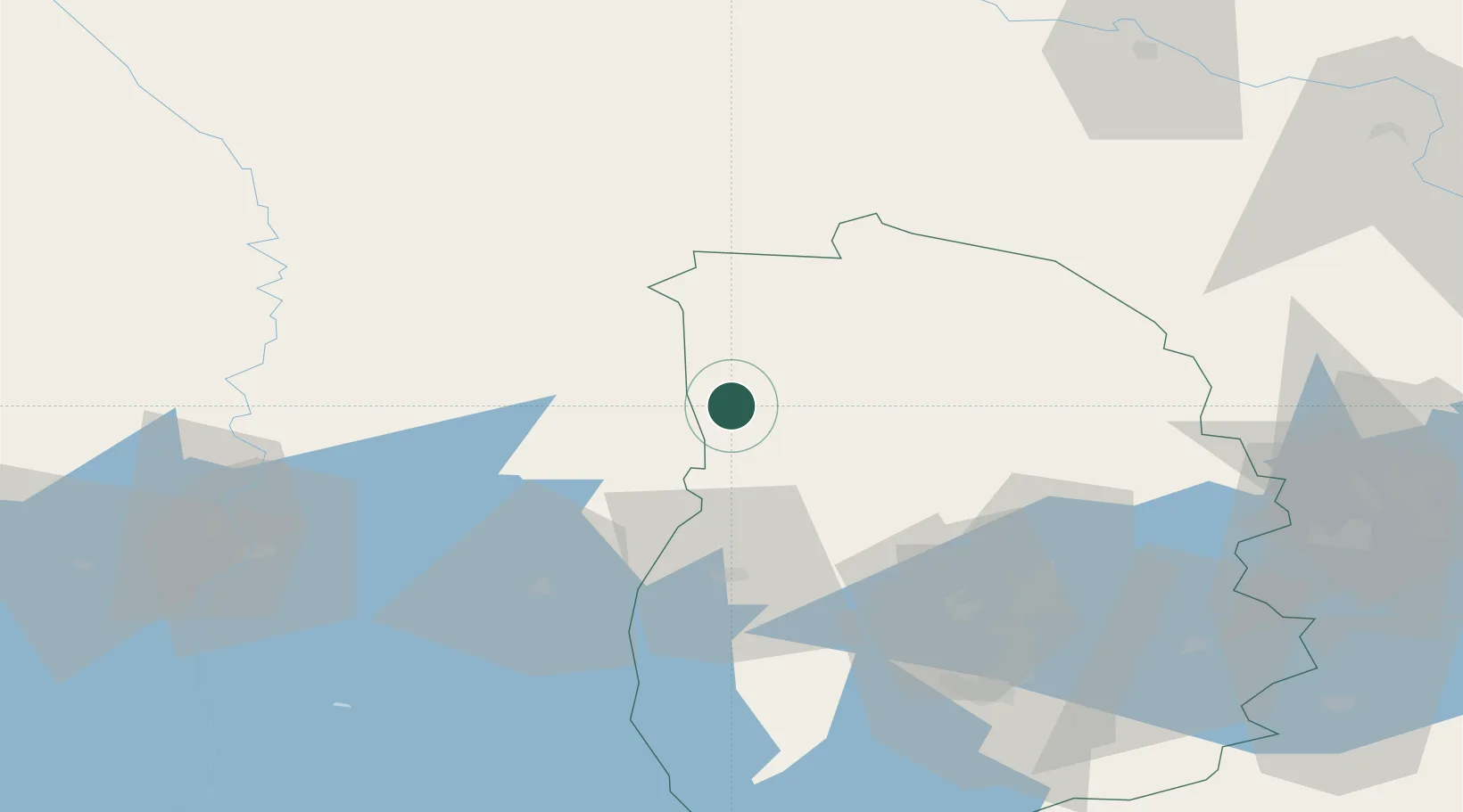
Örebro
Population
859
Time zone
Europe/Stockholm
Elevation
187 m
Location
Nearby Logistics Neighbours
Cities
- 1Gyttorp32 km
- 2Lesjöfors36 km
- 3Kristinehamn47 km
- 4Grängesberg50 km
- 5Vintrosa55 km
Ports
- 1Vasteras114 km
- 2Norrkoping156 km
- 3Nykoping176 km
- 4Gavle182 km
- 5Sodertalje185 km
Airports
- 1Karlskoga Airport39 km
- 2Örebro Airport60 km
- 3Hagfors Airport64 km
- 4Karlstad Airport73 km
- 5Dala Airport97 km
Trade Zones
DatabookThe Record of Consolidated Knowledge
Sweden beyond logistics?