Medium airport · Sweden

Karlskoga AirportESKK
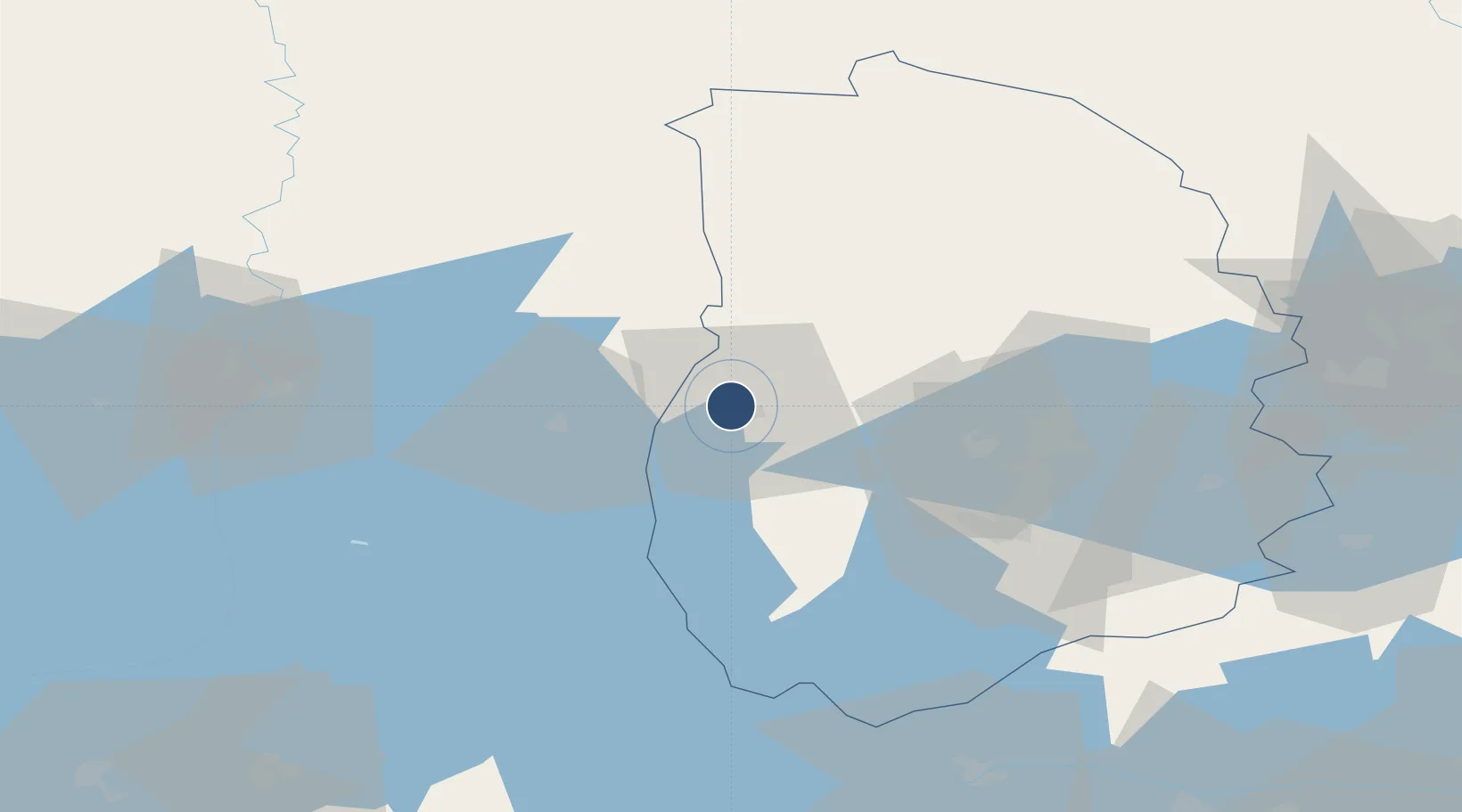
59.3459°, 14.4959°
4,919 ft
Longest runway
1
Runways
407 ft
Elevation

Runway & Layout

Karlskoga Airport runway & taxiway layout
Runway & taxiway layout — OpenStreetMap (ODbL) / OurAirports

Radio Frequencies

AFIS
122.55 MHz
OurAirports

Runways · 1

RunwayDimensions SurfaceTrue headingLit
03/21 4,919 × 98ft Asphalt 022°
OurAirports

Airport Specifications

IATA code
KSK
OurAirports
ICAO code
ESKK
OurAirports
Airport class
Medium airport
OurAirports
Scheduled service
No
OurAirports
Runway surface
Asphalt
OurAirports
Served city
Karlskoga
OurAirports

Location

Location of ESKK
Natural Earth 10m (public domain) · Orebro · ESKK · 59.35, 14.50GoogleOSMYandex

Nearby Logistics Neighbours

Airports
  1. 1Örebro Airport34 km
  2. 2Karlstad Airport67 km
  3. 3Hagfors Airport91 km
  4. 4Skövde Airport103 km
  5. 5Malmen Air Base121 km
Nearest neighbours — logibook spatial index (haversine) over the source coordinates
Cities
  1. 1Kristinehamn22 km
  2. 2Mullhyttan24 km
  3. 3Åtorp27 km
  4. 4Vintrosa28 km
  5. 5Gyttorp33 km
Nearest neighbours — logibook spatial index (haversine) over the source coordinates
Ports
  1. 1Vasteras120 km
  2. 2Norrkoping129 km
  3. 3Nykoping159 km
  4. 4Oxelosund168 km
  5. 5Sodertalje180 km
Nearest neighbours — logibook spatial index (haversine) over the source coordinates
Trade Zones
  1. 1Jönköping Free Zone177 km
  2. 2Stockholm Free Zone205 km
  3. 3Gothenburg Boundless Customs Warehouse240 km
  4. 4Freeport of Copenhagen- Nordhavn419 km
  5. 5MTS Malmö Transport and Spedition424 km
Nearest neighbours — logibook spatial index (haversine) over the source coordinates
DatabookThe Record of Consolidated Knowledge
Sweden beyond logistics?
Browse databook

All Sources

AirportsOurAirports
Public domain
Portsthe NGA World Port Index
Public domain (US gov)
LocationsUN/LOCODE
UN/LOCODE — free
Trade Zonesthe World Bank SEZ database
CC BY 4.0
Trade ZonesOpen Zone Map
CC BY
InfrastructureOpenStreetMap
ODbL 1.0
← Sweden airports