Transport Functions
Port
Rail
Road
Hub Profile
Place type
Provincial seat
Region
Västmanland
Population
10,841
Time zone
Europe/Stockholm
Elevation
18 m
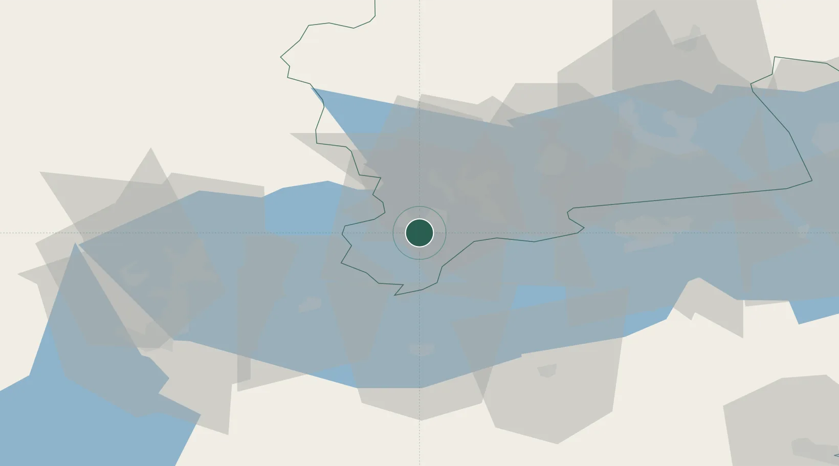
Location
Nearby Logistics Neighbours
Ports
- 1Vasteras47 km
- 2Norrkoping91 km
- 3Nykoping97 km
- 4Sodertalje105 km
- 5Oxelosund108 km
Airports
- 1Eskilstuna Airport49 km
- 2Örebro Airport49 km
- 3Stockholm Västerås Airport50 km
- 4Karlskoga Airport77 km
- 5Stockholm Skavsta Airport90 km
Trade Zones
- 1Stockholm Free Zone128 km
- 2Jönköping Free Zone207 km
- 3Gothenburg Boundless Customs Warehouse299 km
- 4Free port of Ventspils397 km
- 5MTS Malmö Transport and Spedition451 km
DatabookThe Record of Consolidated Knowledge
Sweden beyond logistics?