Transport Functions
Rail
Road
Multimodal
Hub Profile
Place type
Populated place
Region
Örebro
Population
534
Time zone
Europe/Stockholm
Elevation
93 m
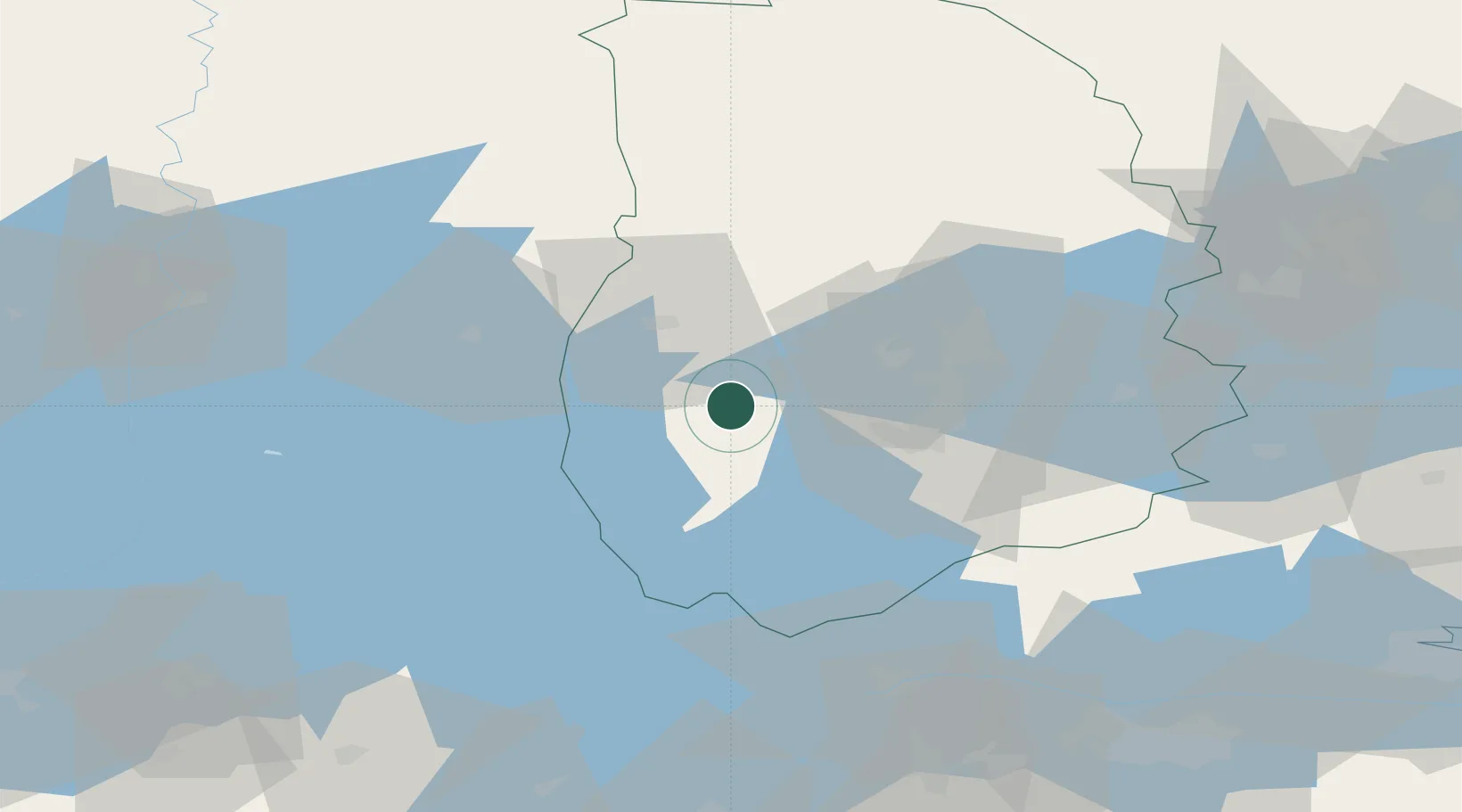
Location
Nearby Logistics Neighbours
Cities
- 1Vintrosa19 km
- 2Åtorp19 km
- 3Åsbro27 km
- 4Kristinehamn38 km
- 5Pålsboda39 km
Ports
- 1Norrkoping108 km
- 2Vasteras118 km
- 3Nykoping141 km
- 4Oxelosund150 km
- 5Sodertalje169 km
Airports
- 1Örebro Airport22 km
- 2Karlskoga Airport24 km
- 3Karlstad Airport83 km
- 4Skövde Airport87 km
- 5Malmen Air Base97 km
Trade Zones
DatabookThe Record of Consolidated Knowledge
Sweden beyond logistics?