Transport Functions
Road
Multimodal
Hub Profile
Place type
Populated place
Region
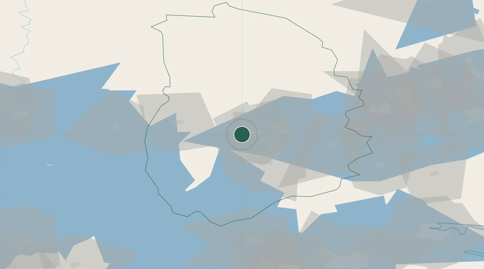
Örebro
Population
2,285
Time zone
Europe/Stockholm
Elevation
80 m
Location
Nearby Logistics Neighbours
Cities
- 1Mullhyttan19 km
- 2Åsbro28 km
- 3Gyttorp30 km
- 4Pålsboda31 km
- 5Åtorp37 km
Ports
- 1Vasteras99 km
- 2Norrkoping103 km
- 3Nykoping131 km
- 4Oxelosund140 km
- 5Sodertalje154 km
Airports
- 1Örebro Airport6 km
- 2Karlskoga Airport28 km
- 3Karlstad Airport94 km
- 4Malmen Air Base100 km
- 5Eskilstuna Airport101 km
Trade Zones
DatabookThe Record of Consolidated Knowledge
Sweden beyond logistics?