Transport Functions
Multimodal
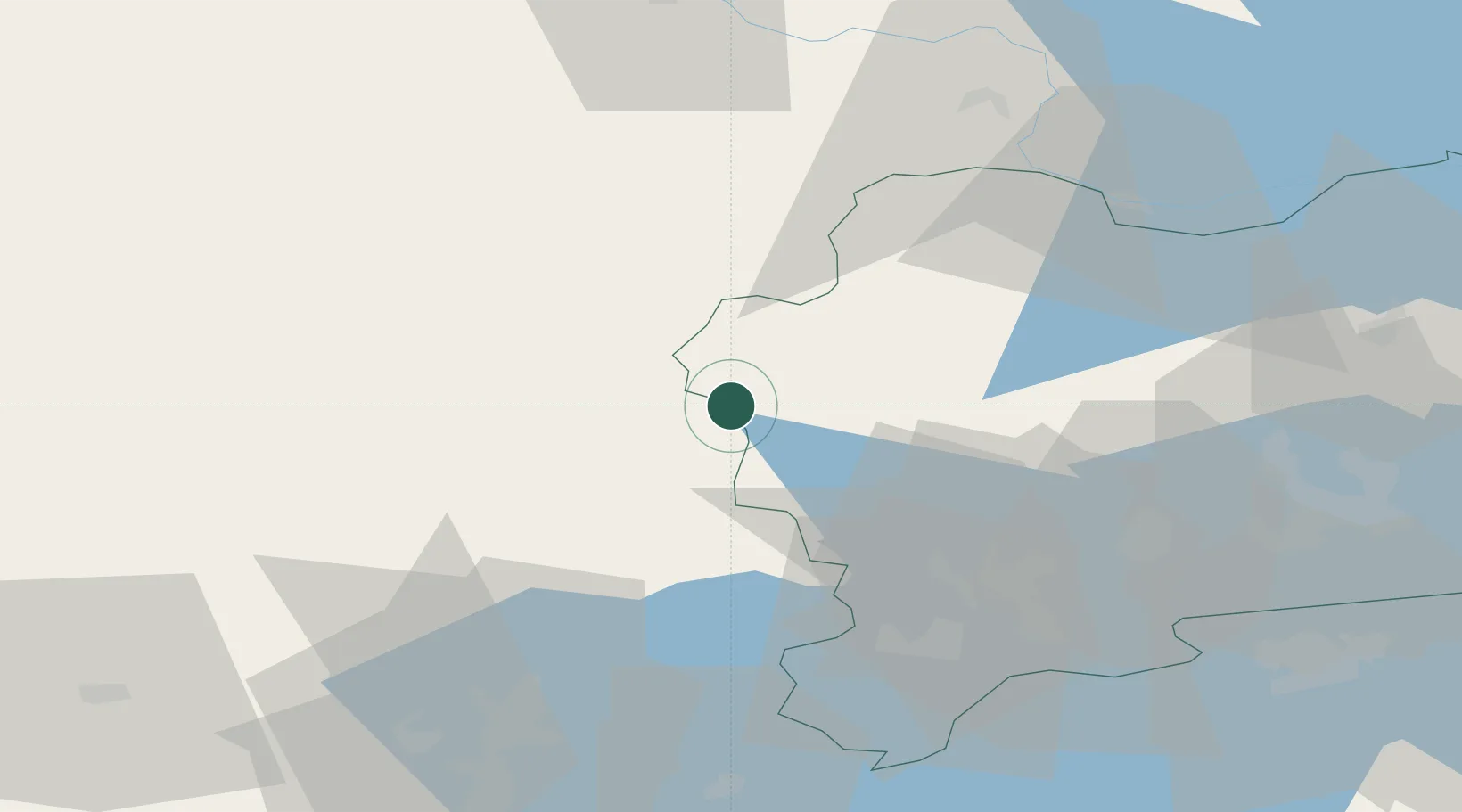
Hub Profile
Place type
Populated place
Region
Västmanland
Population
321
Time zone
Europe/Stockholm
Elevation
174 m
Location
Nearby Logistics Neighbours
Cities
- 1Köping40 km
- 2Grängesberg45 km
- 3Gyttorp46 km
- 4Arboga49 km
- 5Kungsör51 km
Ports
- 1Vasteras60 km
- 2Gavle133 km
- 3Karskar137 km
- 4Sodertalje137 km
- 5Skutskar139 km
Airports
- 1Stockholm Västerås Airport65 km
- 2Dala Airport69 km
- 3Örebro Airport70 km
- 4Karlskoga Airport78 km
- 5Eskilstuna Airport82 km
Trade Zones
- 1Stockholm Free Zone153 km
- 2Jönköping Free Zone241 km
- 3Gothenburg Boundless Customs Warehouse317 km
- 4Free port of Ventspils437 km
- 5Freeport of Copenhagen- Nordhavn487 km
DatabookThe Record of Consolidated Knowledge
Sweden beyond logistics?