Transport Functions
Port
Road
Hub Profile
Place type
Populated place
Region
Stockholm
Population
695
Time zone
Europe/Stockholm
Elevation
16 m
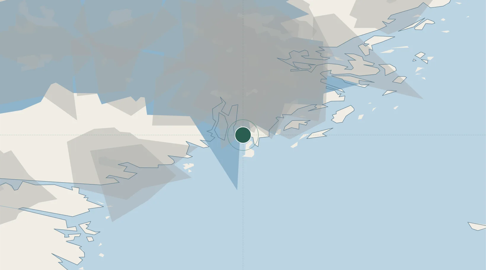
Location
Nearby Logistics Neighbours
Ports
- 1Nynashamn10 km
- 2Sodertalje29 km
- 3Stockholm47 km
- 4Oxelosund49 km
- 5Nykoping50 km
Airports
- 1Stockholm-Bromma Airport48 km
- 2Stockholm Skavsta Airport54 km
- 3Eskilstuna Airport78 km
- 4Stockholm-Arlanda Airport80 km
- 5Norrköping Airport97 km
Trade Zones
- 1Stockholm Free Zone50 km
- 2Jönköping Free Zone252 km
- 3Free port of Ventspils277 km
- 4Turku Free Zone299 km
- 5Freeport of Hanko305 km
DatabookThe Record of Consolidated Knowledge
Sweden beyond logistics?