Transport Functions
Port
Rail
Road
Hub Profile
Place type
Populated place
Region
Kalmar
Time zone
Europe/Stockholm
Elevation
4 m
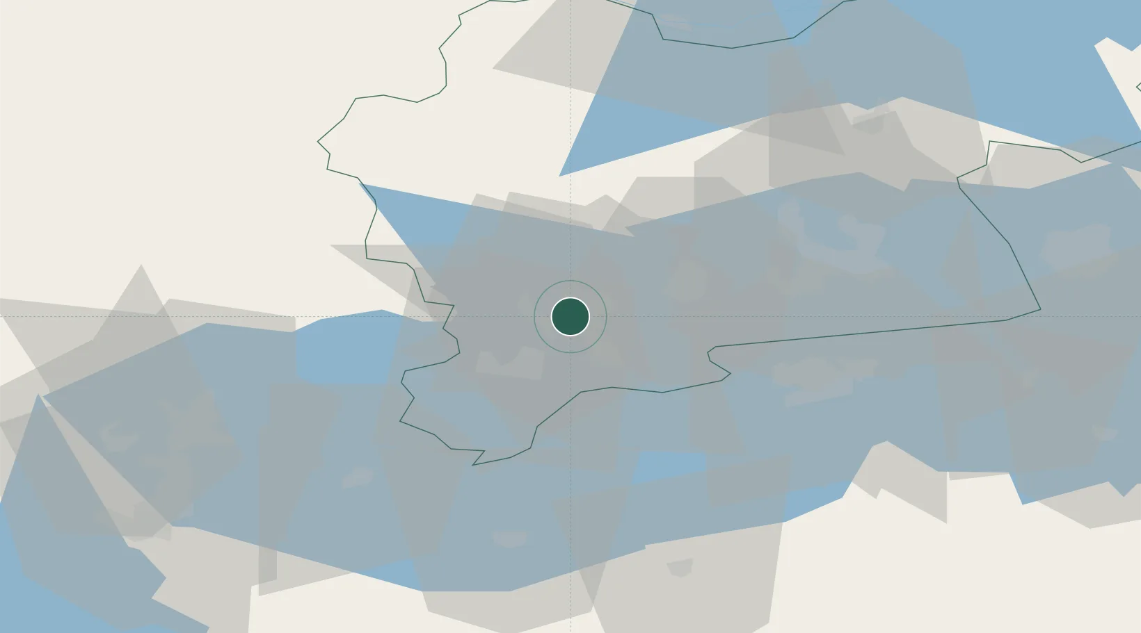
Location
Nearby Logistics Neighbours
Cities
- 1Kungsör11 km
- 2Arboga17 km
- 3Torshälla29 km
- 4Västerås31 km
- 5Riddarhyttan40 km
Ports
- 1Vasteras34 km
- 2Sodertalje102 km
- 3Nykoping104 km
- 4Norrkoping105 km
- 5Oxelosund115 km
Airports
- 1Stockholm Västerås Airport38 km
- 2Eskilstuna Airport45 km
- 3Örebro Airport63 km
- 4Karlskoga Airport86 km
- 5Stockholm Skavsta Airport97 km
Trade Zones
- 1Stockholm Free Zone122 km
- 2Jönköping Free Zone223 km
- 3Gothenburg Boundless Customs Warehouse314 km
- 4Free port of Ventspils399 km
- 5Liepāja SEZ465 km
DatabookThe Record of Consolidated Knowledge
Sweden beyond logistics?