Transport Functions
Port
Road
Hub Profile
Region
D
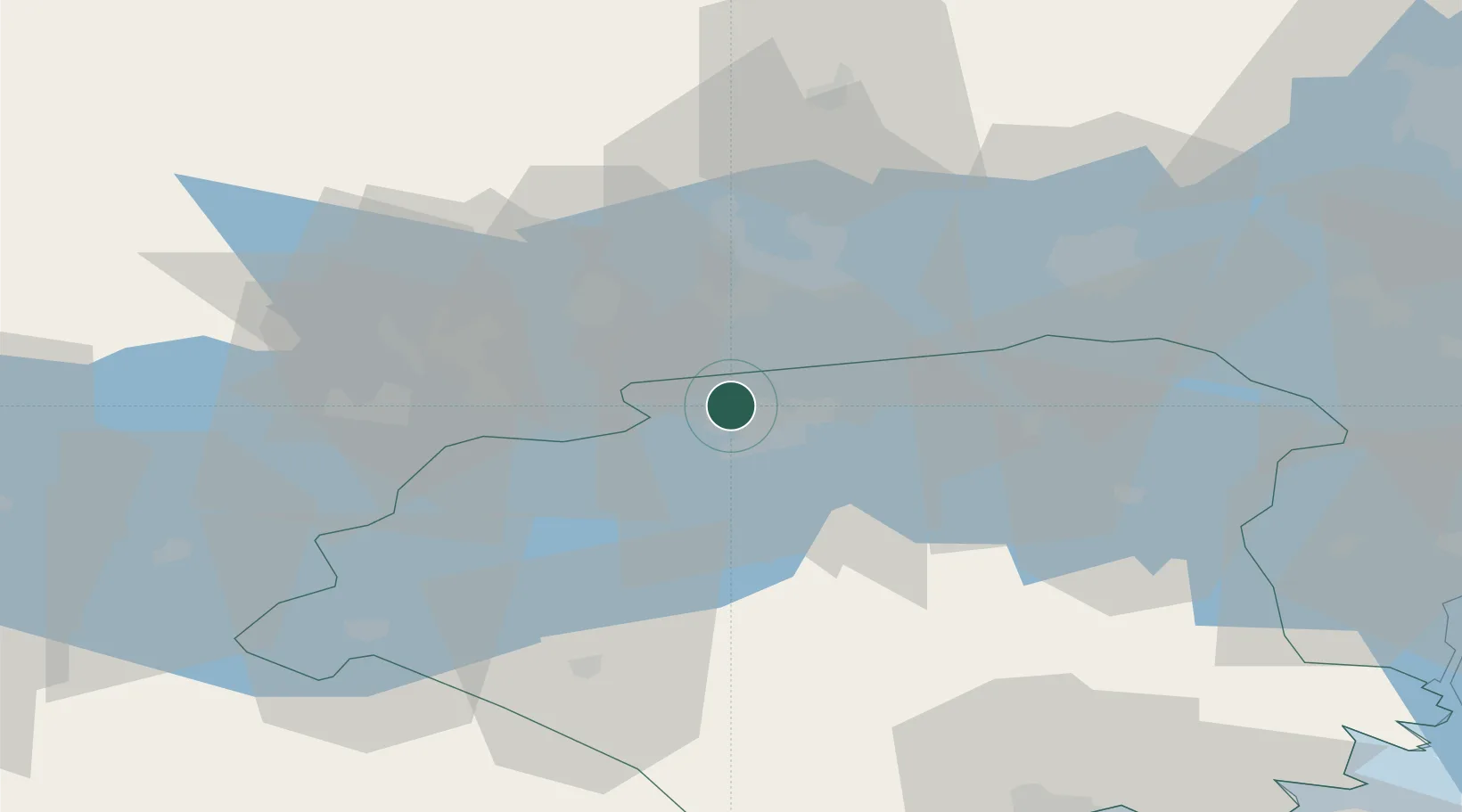
Location
Nearby Logistics Neighbours
Ports
- 1Vasteras23 km
- 2Sodertalje73 km
- 3Nykoping81 km
- 4Stockholm91 km
- 5Oxelosund92 km
Airports
- 1Eskilstuna Airport16 km
- 2Stockholm Västerås Airport22 km
- 3Stockholm Skavsta Airport75 km
- 4Örebro Airport83 km
- 5Stockholm-Bromma Airport85 km
Trade Zones
- 1Stockholm Free Zone94 km
- 2Jönköping Free Zone229 km
- 3Gothenburg Boundless Customs Warehouse329 km
- 4Turku Free Zone341 km
- 5Freeport of Hanko365 km
DatabookThe Record of Consolidated Knowledge
Sweden beyond logistics?