Transport Functions
Port
Rail
Road
Airport
Hub Profile
Place type
Populated place
Region
Västernorrland
Time zone
Europe/Stockholm
Elevation
65 m
Logistics facilities
4
Container terminals
1
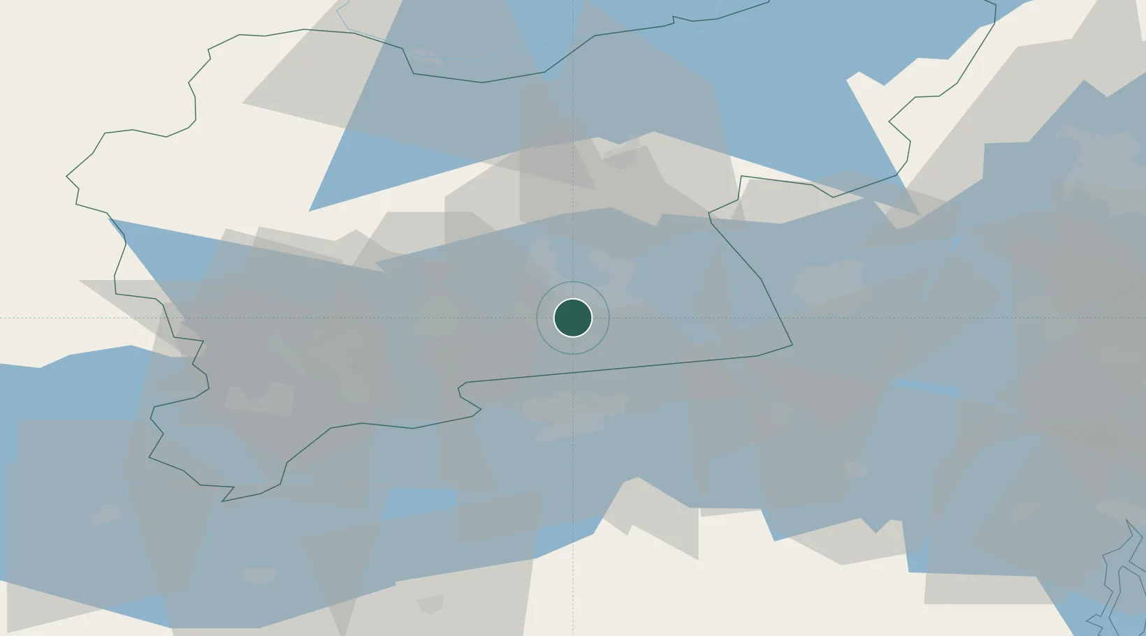
Location
Nearby Logistics Neighbours
Ports
- 1Sodertalje79 km
- 2Stockholm92 km
- 3Nykoping98 km
- 4Oxelosund108 km
- 5Gustavsberg110 km
Airports
Trade Zones
- 1Stockholm Free Zone94 km
- 2Jönköping Free Zone246 km
- 3Turku Free Zone331 km
- 4Gothenburg Boundless Customs Warehouse343 km
- 5Freeport of Hanko358 km
DatabookThe Record of Consolidated Knowledge
Sweden beyond logistics?