Transport Functions
Port
Road
Hub Profile
Region
U
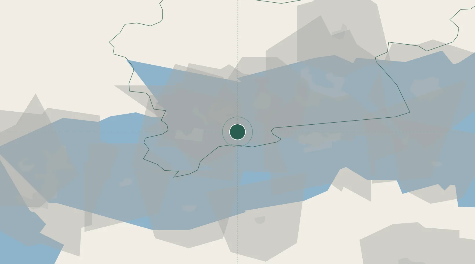
Location
Nearby Logistics Neighbours
Cities
- 1Köping11 km
- 2Arboga15 km
- 3Torshälla20 km
- 4Västerås29 km
- 5Malmkoping49 km
Ports
- 1Vasteras33 km
- 2Sodertalje92 km
- 3Nykoping92 km
- 4Norrkoping95 km
- 5Oxelosund103 km
Airports
- 1Stockholm Västerås Airport35 km
- 2Eskilstuna Airport36 km
- 3Örebro Airport65 km
- 4Stockholm Skavsta Airport85 km
- 5Karlskoga Airport91 km
Trade Zones
- 1Stockholm Free Zone114 km
- 2Jönköping Free Zone219 km
- 3Gothenburg Boundless Customs Warehouse314 km
- 4Turku Free Zone358 km
- 5Freeport of Hanko384 km
DatabookThe Record of Consolidated Knowledge
Sweden beyond logistics?