Transport Functions
Rail
Road
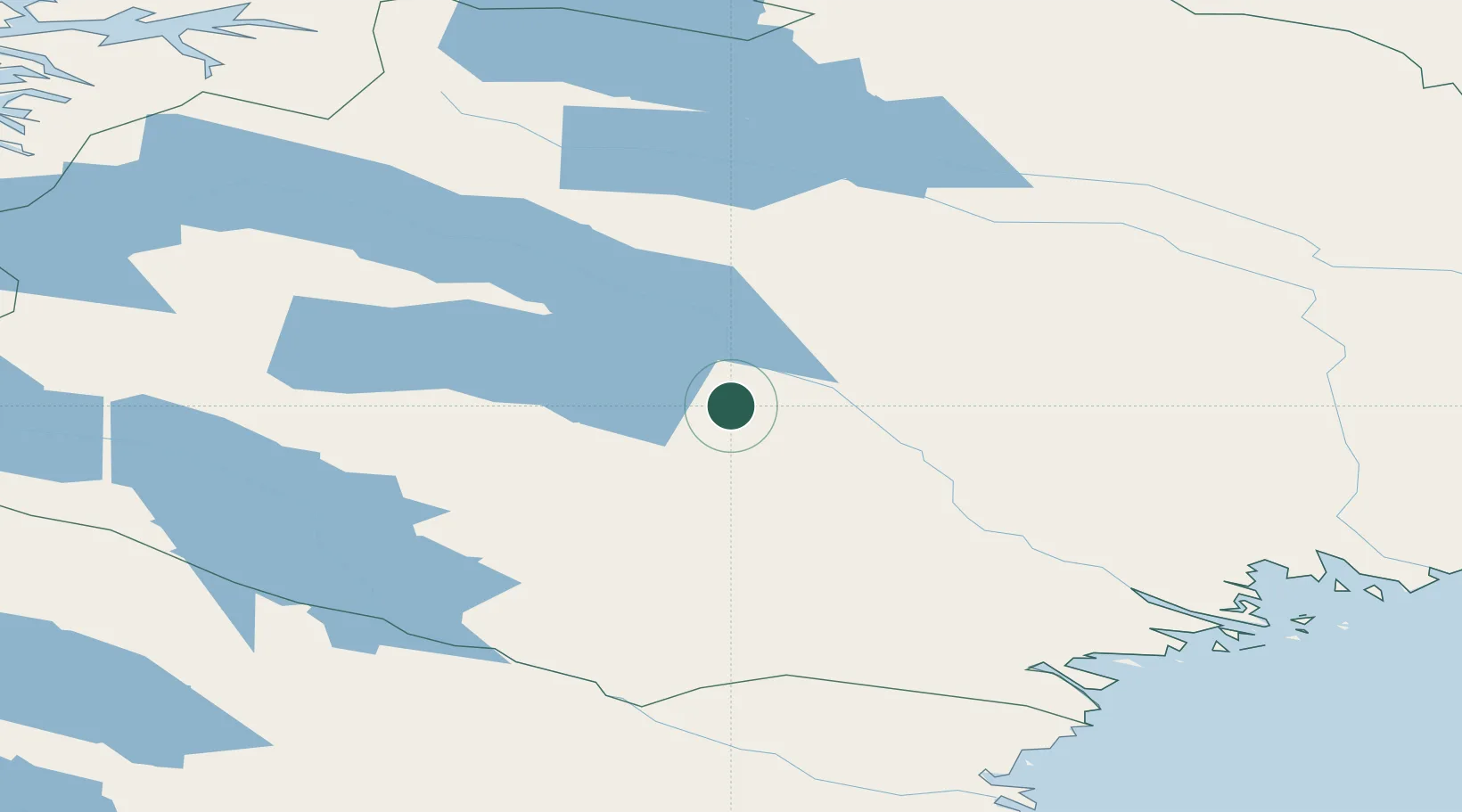
Hub Profile
Place type
Provincial seat
Region
Norrbotten
Population
2,794
Time zone
Europe/Stockholm
Elevation
251 m
Location
Nearby Logistics Neighbours
Cities
- 1Adak150 km
- 2Öjebyn156 km
- 3Piteå172 km
- 4Haraholmen173 km
- 5Abisko200 km
Ports
- 1Pitea161 km
- 2Brannfors189 km
- 3Skelleftehamn222 km
- 4Narvik228 km
- 5Drag228 km
Airports
- 1Gällivare Airport73 km
- 2Arvidsjaur Airport115 km
- 3Kiruna Airport138 km
- 4Luleå Airport156 km
- 5Pajala Airport158 km
Trade Zones
- 1Oulu Port Free Warehouse Area310 km
- 2Turku Free Zone694 km
- 3Free Zone of Lappeenranta738 km
- 4Port of Hamina-Kotka766 km
- 5Freeport of Hanko768 km
DatabookThe Record of Consolidated Knowledge
Sweden beyond logistics?