About
Methodology
Sources
Licensing
English
EN
English
TR
Türkçe
DE
Deutsch
FR
Français
ES
Español
IT
Italiano
PT
Português
NL
Nederlands
PL
Polski
RU
Русский
UK
Українська
CS
Čeština
RO
Română
EL
Ελληνικά
BG
Български
AR
العربية
FA
فارسی
UR
اردو
HI
हिन्दी
BN
বাংলা
ID
Bahasa Indonesia
VI
Tiếng Việt
ZH
中文
JA
日本語
KO
한국어
logibook
/
Countries
/
Russia
/
Locations
/
Ura-Guba
UN/LOCODE hub ·
Russia
RU
URA
Ura-Guba
69.2833°, 32.8000°
1
Transport functions
Transport Functions
Port
UN/LOCODE
Hub Profile
Place type
Populated place
GeoNames
Region
Murmansk
GeoNames
Time zone
Europe/Moscow
GeoNames
Elevation
1 m
GeoNames
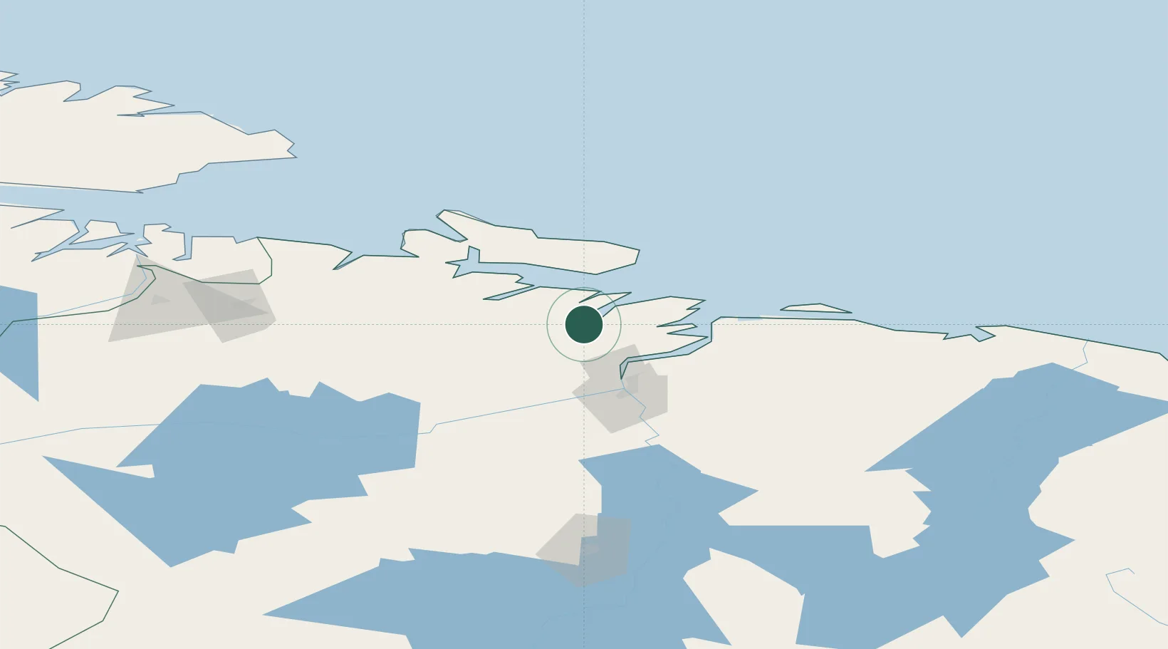
Location
Natural Earth 10m (public domain) · Murmansk · RUURA · 69.28, 32.80
Google ↗
OSM ↗
Yandex ↗
Nearby Logistics Neighbours
Cities
1
Ozerko
55 km
2
Zapolyarnyy
71 km
3
Jakobsnes
116 km
4
Kirkenes
118 km
5
Vardø
137 km
Nearest neighbours — logibook spatial index (haversine) over the source coordinates
Ports
1
Murmansk
35 km
2
Kirkenes
117 km
3
Vardo
138 km
4
Vadso
147 km
5
Batsfjord
190 km
Nearest neighbours — logibook spatial index (haversine) over the source coordinates
Airports
1
Severomorsk-1 Naval Air Base
37 km
2
Emperor Nicholas II Murmansk Airport
56 km
3
Severomorsk-3 Naval Air Base
59 km
4
Kirkenes Airport, Høybuktmoen
124 km
5
Olenya Air Base
129 km
Nearest neighbours — logibook spatial index (haversine) over the source coordinates
Trade Zones
1
Murmansk Special Economic Zone
38 km
2
Oulu Port Free Warehouse Area
573 km
3
Free Zone of Lappeenranta
942 km
4
Port of Hamina-Kotka
1017 km
5
St Petersburg Technology Innovative Special Economic Zone
1058 km
Nearest neighbours — logibook spatial index (haversine) over the source coordinates
Data
book
The Record of Consolidated Knowledge
Russia beyond logistics?
Browse databook
→
All Sources
Locations
UN/LOCODE
UN/LOCODE — free
↗
Ports
the NGA World Port Index
Public domain (US gov)
↗
Airports
OurAirports
Public domain
↗
Trade Zones
the World Bank SEZ database
CC BY 4.0
↗
Trade Zones
Open Zone Map
CC BY
↗
← Russia locations