Medium airport · Russia

Severomorsk-1 Naval Air BaseRU-10057
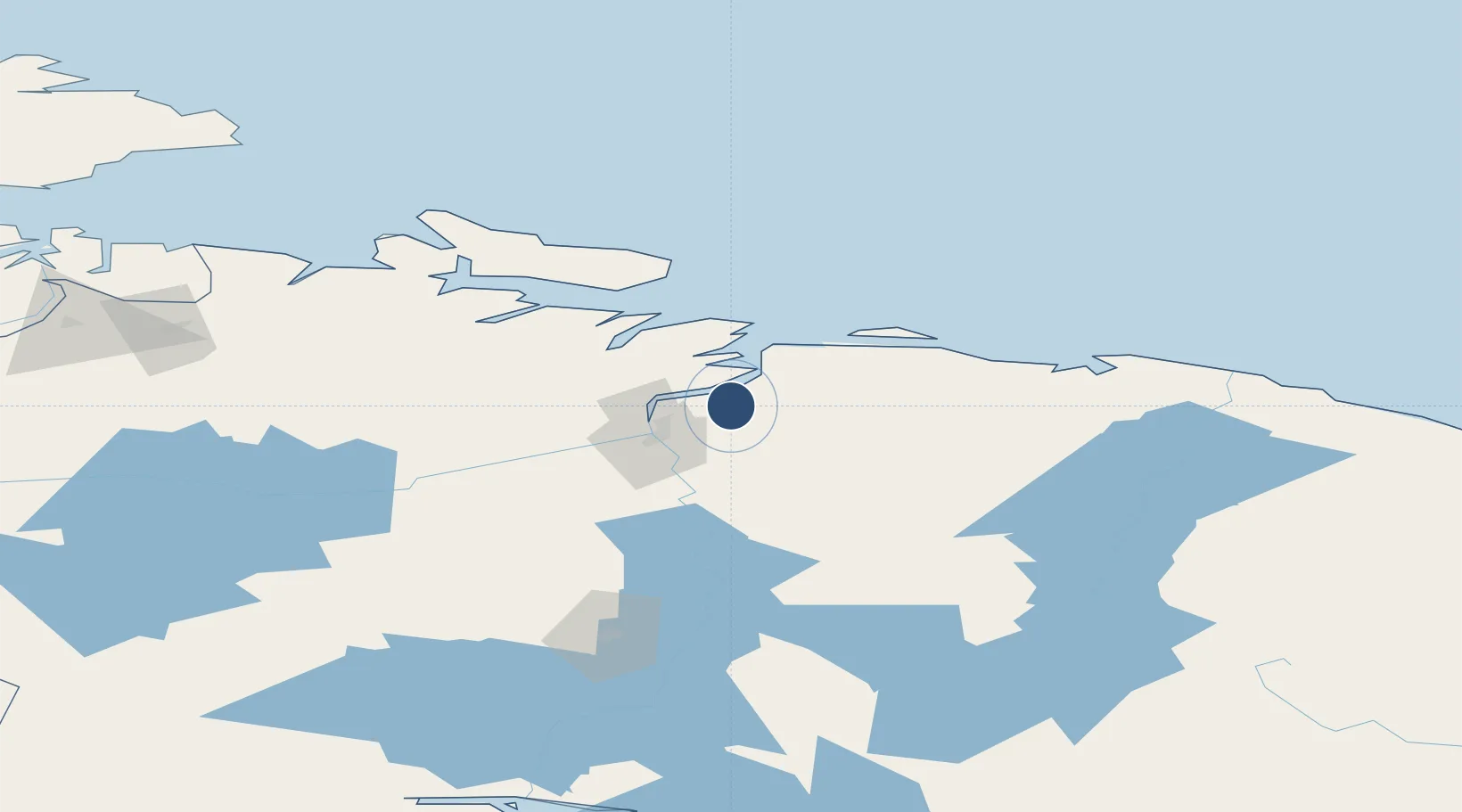
69.0317°, 33.4183°
11,482 ft
Longest runway
1
Runways
239 ft
Elevation

Runway & Layout

Severomorsk-1 Naval Air Base runway & taxiway layout
Runway & taxiway layout — OpenStreetMap (ODbL) / OurAirports

Runways · 1

RunwayDimensions SurfaceTrue headingLit
14/32 11,482 × 197ft Concrete
OurAirports

Airport Specifications

Airport class
Medium airport
OurAirports
Scheduled service
No
OurAirports
Runway surface
Concrete
OurAirports
Served city
Severomorsk
OurAirports

Location

Location of RU-10057
Natural Earth 10m (public domain) · Murmansk · RU-10057 · 69.03, 33.42GoogleOSMYandex

Nearby Logistics Neighbours

Airports
  1. 1Severomorsk-3 Naval Air Base22 km
  2. 2Emperor Nicholas II Murmansk Airport39 km
  3. 3Olenya Air Base98 km
  4. 4Kirkenes Airport, Høybuktmoen158 km
  5. 5Vardø Airport, Svartnes173 km
Nearest neighbours — logibook spatial index (haversine) over the source coordinates
Cities
  1. 1Ura-Guba37 km
  2. 2Ozerko92 km
  3. 3Zapolyarnyy104 km
  4. 4Jakobsnes152 km
  5. 5Kirkenes153 km
Nearest neighbours — logibook spatial index (haversine) over the source coordinates
Ports
  1. 1Murmansk16 km
  2. 2Kirkenes152 km
  3. 3Vardo174 km
  4. 4Vadso184 km
  5. 5Kandalaksha215 km
Nearest neighbours — logibook spatial index (haversine) over the source coordinates
Trade Zones
  1. 1Murmansk Special Economic Zone16 km
  2. 2Oulu Port Free Warehouse Area567 km
  3. 3Free Zone of Lappeenranta922 km
  4. 4Port of Hamina-Kotka999 km
  5. 5St Petersburg Technology Innovative Special Economic Zone1034 km
Nearest neighbours — logibook spatial index (haversine) over the source coordinates
DatabookThe Record of Consolidated Knowledge
Russia beyond logistics?
Browse databook

All Sources

AirportsOurAirports
Public domain
Portsthe NGA World Port Index
Public domain (US gov)
LocationsUN/LOCODE
UN/LOCODE — free
Trade Zonesthe World Bank SEZ database
CC BY 4.0
Trade ZonesOpen Zone Map
CC BY
InfrastructureOpenStreetMap
ODbL 1.0
← Russia airports