Medium airport · Russia

Severomorsk-3 Naval Air BaseRU-10058
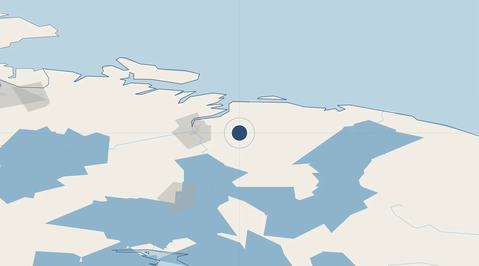
68.8667°, 33.7167°
8,202 ft
Longest runway
1
Runways
564 ft
Elevation

Runway & Layout

Severomorsk-3 Naval Air Base runway & taxiway layout
Runway & taxiway layout — OpenStreetMap (ODbL) / OurAirports

Runways · 1

RunwayDimensions SurfaceTrue headingLit
17/35 8,202 × 197ft Concrete
OurAirports

Airport Specifications

Airport class
Medium airport
OurAirports
Scheduled service
No
OurAirports
Runway surface
Concrete
OurAirports
Served city
Severomorsk
OurAirports

Location

Location of RU-10058
Natural Earth 10m (public domain) · Murmansk · RU-10058 · 68.87, 33.72GoogleOSMYandex

Nearby Logistics Neighbours

Airports
  1. 1Severomorsk-1 Naval Air Base22 km
  2. 2Emperor Nicholas II Murmansk Airport40 km
  3. 3Olenya Air Base80 km
  4. 4Kirkenes Airport, Høybuktmoen178 km
  5. 5Vardø Airport, Svartnes195 km
Nearest neighbours — logibook spatial index (haversine) over the source coordinates
Cities
  1. 1Ura-Guba59 km
  2. 2Ozerko114 km
  3. 3Zapolyarnyy123 km
  4. 4Jakobsnes172 km
  5. 5Kirkenes173 km
Nearest neighbours — logibook spatial index (haversine) over the source coordinates
Ports
  1. 1Murmansk30 km
  2. 2Kirkenes173 km
  3. 3Vardo196 km
  4. 4Kandalaksha200 km
  5. 5Vadso205 km
Nearest neighbours — logibook spatial index (haversine) over the source coordinates
Trade Zones
  1. 1Murmansk Special Economic Zone27 km
  2. 2Oulu Port Free Warehouse Area561 km
  3. 3Free Zone of Lappeenranta909 km
  4. 4Port of Hamina-Kotka987 km
  5. 5St Petersburg Technology Innovative Special Economic Zone1019 km
Nearest neighbours — logibook spatial index (haversine) over the source coordinates
DatabookThe Record of Consolidated Knowledge
Russia beyond logistics?
Browse databook

All Sources

AirportsOurAirports
Public domain
Portsthe NGA World Port Index
Public domain (US gov)
LocationsUN/LOCODE
UN/LOCODE — free
Trade Zonesthe World Bank SEZ database
CC BY 4.0
Trade ZonesOpen Zone Map
CC BY
InfrastructureOpenStreetMap
ODbL 1.0
← Russia airports