Medium airport · Russia

Olenya Air BaseRU-4464
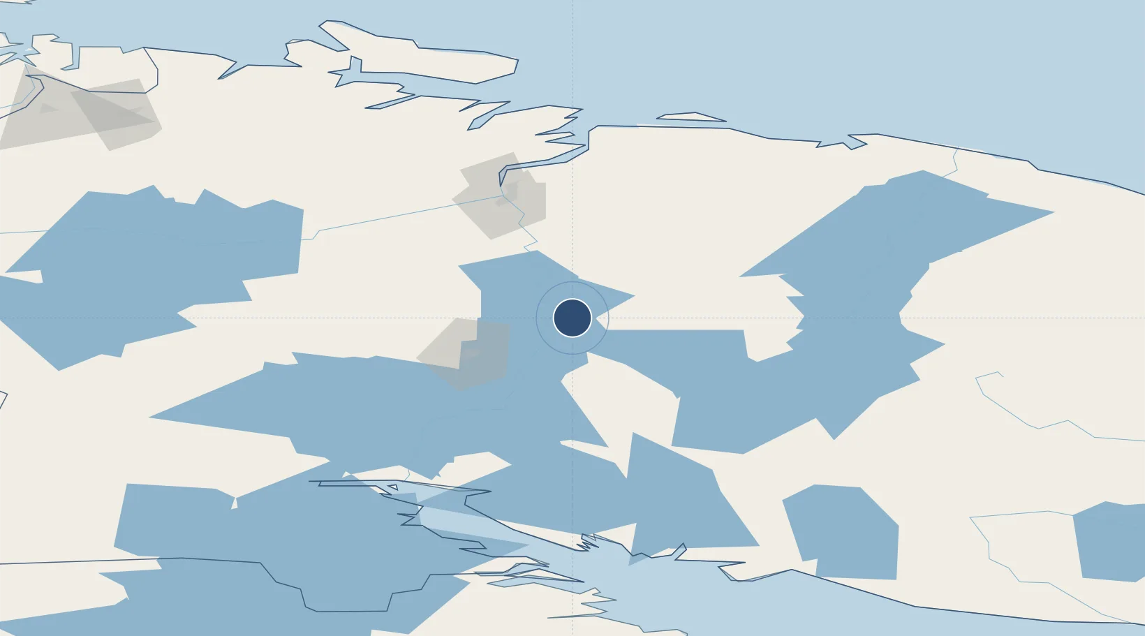
68.1518°, 33.4639°
11,482 ft
Longest runway
1
Runways
702 ft
Elevation

Runway & Layout

Olenya Air Base runway & taxiway layout
Runway & taxiway layout — OpenStreetMap (ODbL) / OurAirports

Runways · 1

RunwayDimensions SurfaceTrue headingLit
01/19 11,482 × 262ft Concrete
OurAirports

Airport Specifications

Airport class
Medium airport
OurAirports
Scheduled service
No
OurAirports
Runway surface
Concrete
OurAirports
Served city
Olenegorsk
OurAirports

Location

Location of RU-4464
Natural Earth 10m (public domain) · Murmansk · RU-4464 · 68.15, 33.46GoogleOSMYandex

Nearby Logistics Neighbours

Airports
  1. 1Emperor Nicholas II Murmansk Airport76 km
  2. 2Severomorsk-3 Naval Air Base80 km
  3. 3Severomorsk-1 Naval Air Base98 km
  4. 4Kirkenes Airport, Høybuktmoen226 km
  5. 5Ivalo Airport253 km
Nearest neighbours — logibook spatial index (haversine) over the source coordinates
Cities
  1. 1Vitino128 km
  2. 2Ura-Guba129 km
  3. 3Zapolyarnyy172 km
  4. 4Ozerko182 km
  5. 5Jakobsnes221 km
Nearest neighbours — logibook spatial index (haversine) over the source coordinates
Ports
  1. 1Murmansk94 km
  2. 2Kandalaksha122 km
  3. 3Vitino128 km
  4. 4Kirkenes222 km
  5. 5Ostrovnoy Gremikha252 km
Nearest neighbours — logibook spatial index (haversine) over the source coordinates
Trade Zones
  1. 1Murmansk Special Economic Zone91 km
  2. 2Oulu Port Free Warehouse Area499 km
  3. 3Free Zone of Lappeenranta830 km
  4. 4Port of Hamina-Kotka909 km
  5. 5St Petersburg Technology Innovative Special Economic Zone939 km
Nearest neighbours — logibook spatial index (haversine) over the source coordinates
DatabookThe Record of Consolidated Knowledge
Russia beyond logistics?
Browse databook

All Sources

AirportsOurAirports
Public domain
Portsthe NGA World Port Index
Public domain (US gov)
LocationsUN/LOCODE
UN/LOCODE — free
Trade Zonesthe World Bank SEZ database
CC BY 4.0
Trade ZonesOpen Zone Map
CC BY
InfrastructureOpenStreetMap
ODbL 1.0
← Russia airports