Transport Functions
Port
Road
Hub Profile
Place type
District seat
Region
Central Serbia
Time zone
Europe/Belgrade
Elevation
75 m
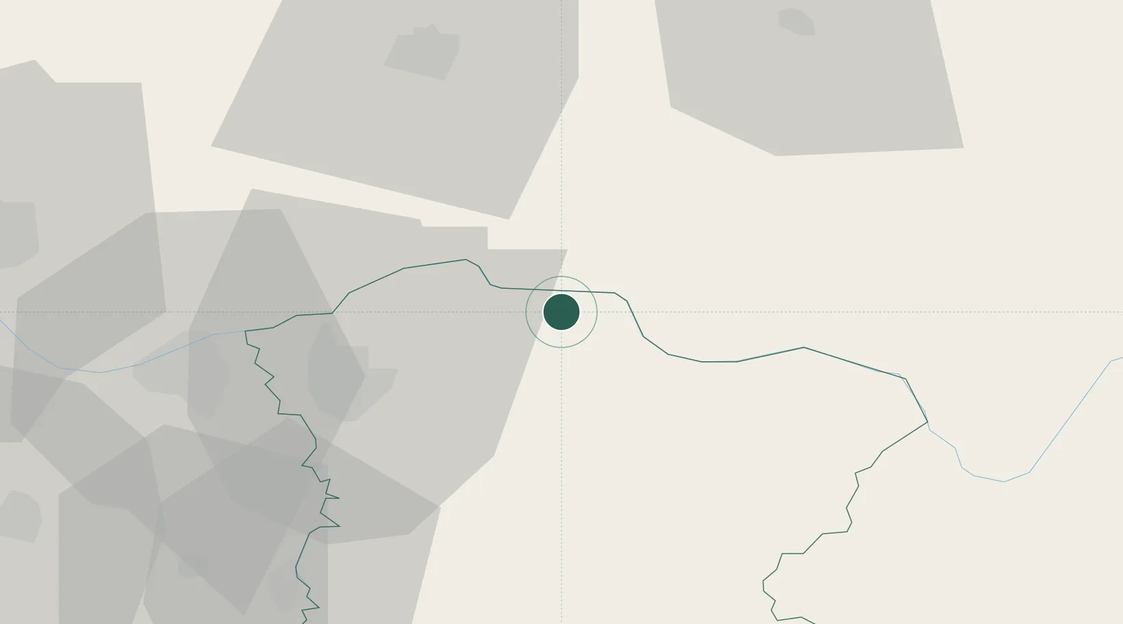
Location
Nearby Logistics Neighbours
Cities
- 1Bazias11 km
- 2Moldova Noua13 km
- 3Pozarevac31 km
- 4Oravita33 km
- 5Kovin41 km
Airports
- 1Belgrade Nikola Tesla Airport94 km
- 2Caransebeş Airport95 km
- 3Batajnica Air Base100 km
- 4Timișoara Traian Vuia International Airport119 km
- 5Morava Airport127 km
Trade Zones
- 1Smederevo Free Zone46 km
- 2Svilajnac Free Zone60 km
- 3Beograd Free Zone81 km
- 4FAS Free Zone Kragujevac96 km
- 5Zrenjanin Free Zone112 km
DatabookThe Record of Consolidated Knowledge
Serbia beyond logistics?